Sites and Monuments Record · Ireland
Country house
Dollas Upper, County Limerick, Ireland
The record
- Townland
- Dollas Upper
- County
- Limerick
- Country
- Ireland
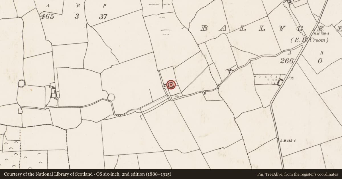
- First-edition OS map
- Indicated
- Latest-edition OS map
- Dollas House (1924).
- Coordinates
- 52.49113, -8.75397
- SMR number
- LI030-115----
Slide toward Today to fade the historical sheet and see the modern map underneath.
David Rumsey Map Collection, Stanford LibrariesDavid Rumsey Map Collection, Stanford LibrariesDavid Rumsey Map Collection, Stanford LibrariesDavid Rumsey Map Collection, Stanford Libraries
4 historical maps cover this location, the earliest the 1790 map "Composite: Ireland." (David Rumsey Map Collection, Stanford Libraries).
Historical maps covering this location
- 1790 · Composite: Ireland. (David Rumsey Map Collection, Stanford Libraries)
- 1883 · Ireland 3. (David Rumsey Map Collection, Stanford Libraries)
- 1891 · Ireland 16 (David Rumsey Map Collection, Stanford Libraries)
- 1904 · Sheet 13. (David Rumsey Map Collection, Stanford Libraries)
This record in the National Monuments Service's Historic Environment Viewer ↗
The National Monuments Service's description
18th century Dollas House may have been built on site of or incorporated fabric from a house depicted on the 17th century Down Survey map of Coshma Barony (Hib. Reg.). Present house described by the National Inventory of Architectural Heritage (NIAH) as follows; 'Detached four-bay two-storey house, built c. 1760, having single-storey extensions to east elevation. Now in disuse. Pitched slate roof with render over red brick chimneystacks and render copings. Roughcast rendered walls. Square-headed openings, some with one-over-one pane timber sliding sash windows and painted stone sills. Square-headed door opening, now blocked up' (www.buildingsofireland.ie; NIAH Reg. No. 21903012).
Compiled by: Caimin O'Brien
Date of upload: 9 December 2020
References
Hibernia Regnum: A set of 214 barony maps of Ireland dating to the period AD 1655-59. The original parish maps have been lost but the Hibernia Regnum maps are preserved in the Bibliotheque Nationale, Paris (Goblet 1932, v-x). Photographic facsimiles of these maps were published by the Ordnance Survey, Southampton in 1908.
Nearby in the register
- Enclosureunder 1 mi
- Ringfort - rathunder 1 mi
- Graveyardunder 1 mi
- Churchunder 1 mi
Other entries of the same register within about three miles of this one, by straight line.