Sites and Monuments Record · Ireland
Graveyard
Glenville, County Limerick, Ireland
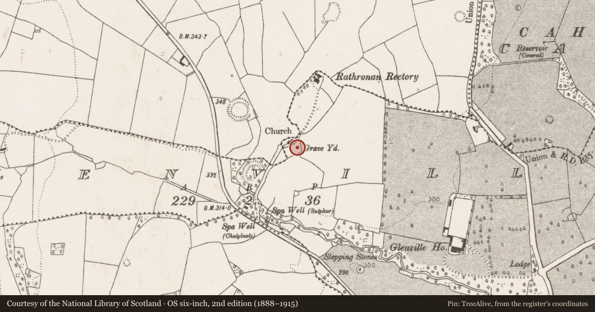
The record
- Townland
- Glenville
- County
- Limerick
- Country
- Ireland
- First-edition OS map
- Grave Yard
- Latest-edition OS map
- Grave Yard (1923)
- Coordinates
- 52.50710, -9.07277
- SMR number
- LI028-096002-
Slide toward Today to fade the historical sheet and see the modern map underneath.
David Rumsey Map Collection, Stanford LibrariesDavid Rumsey Map Collection, Stanford LibrariesDavid Rumsey Map Collection, Stanford LibrariesDavid Rumsey Map Collection, Stanford Libraries
4 historical maps cover this location, the earliest the 1790 map "Composite: Ireland." (David Rumsey Map Collection, Stanford Libraries).
Historical maps covering this location
- 1790 · Composite: Ireland. (David Rumsey Map Collection, Stanford Libraries)
- 1869 · Ireland. (David Rumsey Map Collection, Stanford Libraries)
- 1883 · Ireland 3. (David Rumsey Map Collection, Stanford Libraries)
- 1891 · Ireland 16 (David Rumsey Map Collection, Stanford Libraries)
This record in the National Monuments Service's Historic Environment Viewer ↗
The National Monuments Service's description
Church of Ireland church built on site of medieval church (LI028-096001-) of Rathronan stands in N quadrant of rectangular shaped graveyard (approx. dims. 48m N-S x 52m E-W). In 1840 the Ordnance Survey Letters recorded that the 'ancient Church of Rathronan has long since disappeared and its site is occupied by a modern Protestant Church which was erected about fourteen years ago [c. 1826]; but the original Church did not survive to this period, for the one which was then pulled down was not many half centuries old. There is a large graveyard attached to the modern church, but not much used at present as a cemetery' (OSL, 25).
Compiled by: Caimin O'Brien
Date of upload: 08 January 2019
See attached ASI aerial photographs ASIAP – taken on 04/03/2006.
References
OSL - Ordnance Survey Letters. Letters written by members of the Ordnance Survey's 'Topographical Department' (T. O'Conor, A. O'Curry, E. Curry, J. O'Donovan and P. O'Keeffe) sent to headquarters from the field (1834-41). MSS in Royal Irish Academy.
ASIAP - Archaeological Survey of Ireland Aerial Photographs (c. 1996 - c. 2010).
Nearby in the register
- Churchunder 1 mi
- Ringfort - rathunder 1 mi
- Ringfort - rathunder 1 mi
- Designed landscape - tree-ringunder 1 mi
Other entries of the same register within about three miles of this one, by straight line.