Sites and Monuments Record · Ireland
Ringfort - rath
Liskilly, County Limerick, Ireland
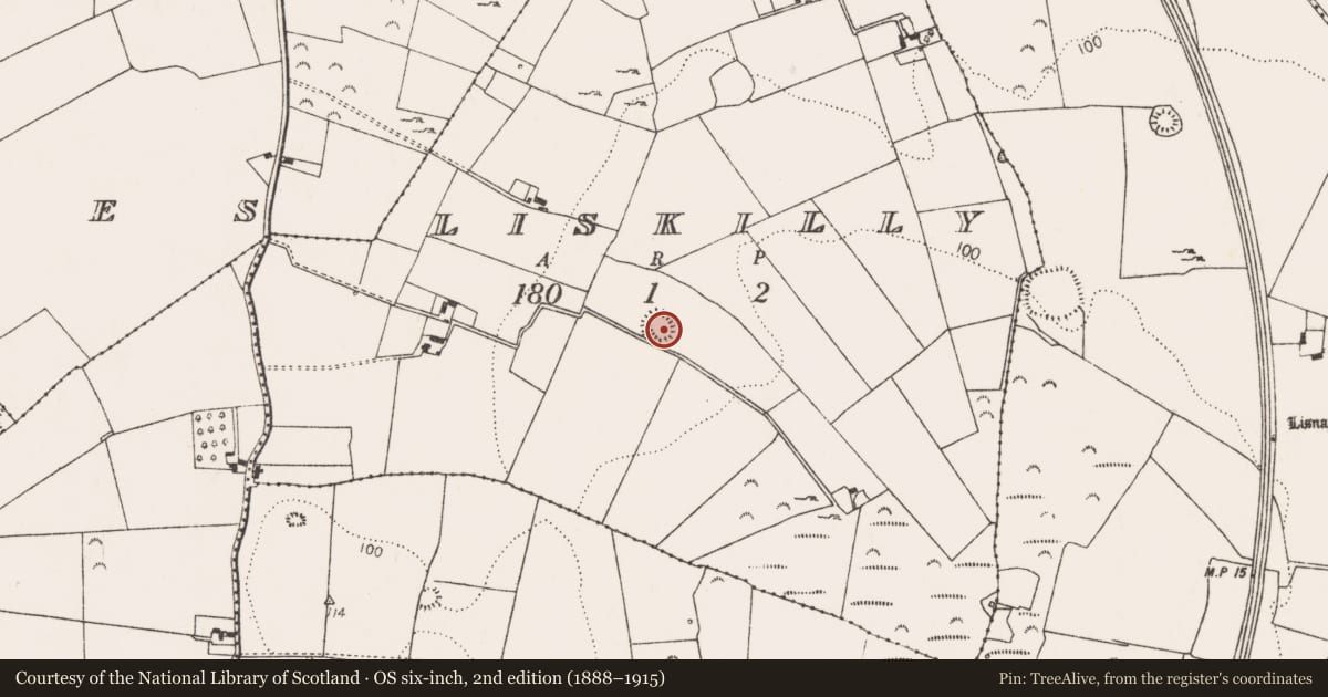
The record
- Townland
- Liskilly
- County
- Limerick
- Country
- Ireland
- First-edition OS map
- Hachured
- Latest-edition OS map
- Hachured (1923)
- Coordinates
- 52.56223, -8.73752
- SMR number
- LI021-049----
Slide toward Today to fade the historical sheet and see the modern map underneath.
David Rumsey Map Collection, Stanford LibrariesDavid Rumsey Map Collection, Stanford LibrariesDavid Rumsey Map Collection, Stanford LibrariesDavid Rumsey Map Collection, Stanford Libraries
4 historical maps cover this location, the earliest the 1790 map "Composite: Ireland." (David Rumsey Map Collection, Stanford Libraries).
Historical maps covering this location
- 1790 · Composite: Ireland. (David Rumsey Map Collection, Stanford Libraries)
- 1869 · Ireland. (David Rumsey Map Collection, Stanford Libraries)
- 1891 · Ireland 16 (David Rumsey Map Collection, Stanford Libraries)
- 1904 · Sheet 13. (David Rumsey Map Collection, Stanford Libraries)
This record in the National Monuments Service's Historic Environment Viewer ↗
The National Monuments Service's description
In pasture on the summit of a low hill with excellent views in all directions, enclosure (LI021-052----) lies 440m TO E on the townland boundary with Garranroe. The ringfort is depicted as a circular enclosure on the 1840 ed. OSi 6-inch map abutting a farm lane and as a circular embanked enclosure (ext. diam. 51m N-S; 43m E-W) on the 1897 ed. OSi 25-inch map surrounded on the N and W side by an external fosse, a small gravel pit is depicted 5m to the W. Inspected by the ASI in 2000, the ringfort consisted of a level circular raised area (int. diam. c. 30m) defined by a low bank (Wth 4.1m; int. H 0.7; ext. H 1.6m) and external fosse (Wth 6.7m; D 1m). The site was overgrown with field stones cleared into the ditch. Monument visible as a cropmark on Google Earth orthoimage taken 28/06/2018 and 14/02/2020 suggesting that the monument was further incorporated into the field since 2000.
See attached ASI plan and Google Earth orthoimages
Compiled by: Edmond O’Donovan
Date of upload: 11 August 2020
Nearby in the register
- Enclosureunder 1 mi
- Ringfort - rathunder 1 mi
- Enclosure - large enclosureunder 1 mi
- Burnt spreadunder 1 mi
Other entries of the same register within about three miles of this one, by straight line.