Sites and Monuments Record · Ireland
Ringfort - rath
Mondellihy, County Limerick, Ireland
The record
- Townland
- Mondellihy
- County
- Limerick
- Country
- Ireland
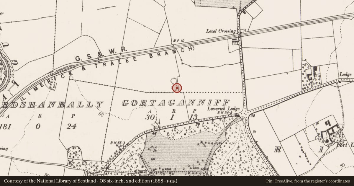
- First-edition OS map
- Hachured
- Latest-edition OS map
- Hachured (1923)
- Coordinates
- 52.57477, -8.77886
- SMR number
- LI021-011001-
Slide toward Today to fade the historical sheet and see the modern map underneath.
David Rumsey Map Collection, Stanford LibrariesDavid Rumsey Map Collection, Stanford LibrariesDavid Rumsey Map Collection, Stanford LibrariesDavid Rumsey Map Collection, Stanford Libraries
4 historical maps cover this location, the earliest the 1790 map "Composite: Ireland." (David Rumsey Map Collection, Stanford Libraries).
Historical maps covering this location
- 1790 · Composite: Ireland. (David Rumsey Map Collection, Stanford Libraries)
- 1869 · Ireland. (David Rumsey Map Collection, Stanford Libraries)
- 1891 · Ireland 16 (David Rumsey Map Collection, Stanford Libraries)
- 1904 · Sheet 13. (David Rumsey Map Collection, Stanford Libraries)
This record in the National Monuments Service's Historic Environment Viewer ↗
The National Monuments Service's description
In pasture on slight E-facing slope, moderate views in all directions, 8m N of the townland boundary with Gortaganniff, ringfort (LI021-011002----) to the immediate N. Westropp described the conjoined ringforts as following “Mondellihy Rings…They lie north and south and consist of two earthen rings, one stone-faced and capped with dry stone walls’ (Westropp 1921, 183). Present remains consist of a slightly raised circular-shaped area (dims. 24m N-S; 22m E-W) defined by an earth and stone bank mainly reduced to a scarp (Wth 1.8m; H 0.4m) that has been levelled from N to E and a ramp (Wth. 4m) across scarp at S. Poorly preserved monument visible on Google Earth image taken 2018.
See attached Google Earth orthoimages
Compiled by: Fiona Rooney
Date of upload: 9 July 20202
References
Westropp, T.J. 1921 Mondellihy Rings (note). Journal of the Royal Society of Antiquaries of Ireland 51, 183.
Nearby in the register
- Ringfort - cashelunder 1 mi
- Enclosureunder 1 mi
- Enclosureunder 1 mi
- Enclosureunder 1 mi
Other entries of the same register within about three miles of this one, by straight line.