Sites and Monuments Record · Ireland
Fulacht fia
Inchagreenoge, County Limerick, Ireland
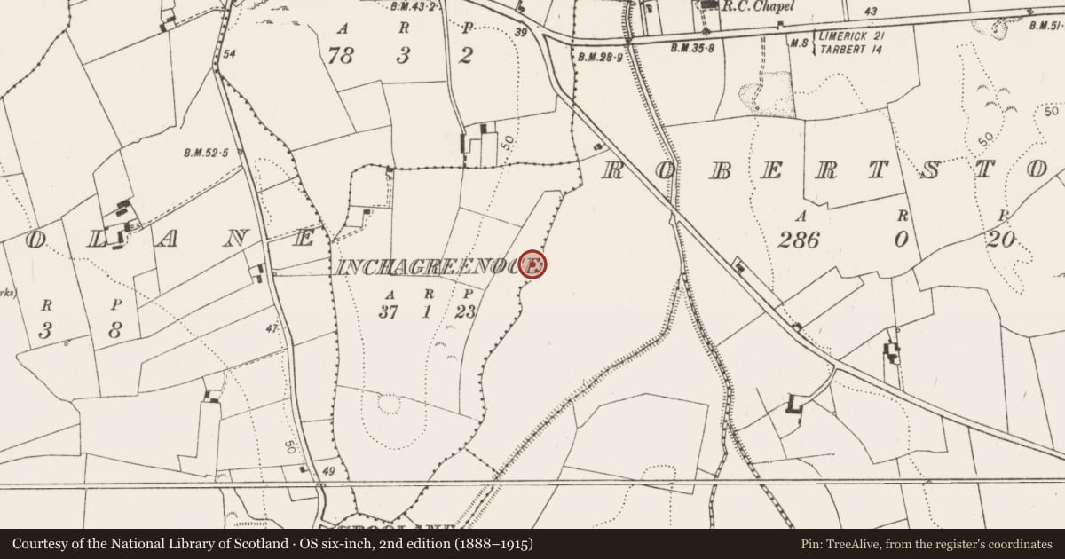
The record
- Townland
- Inchagreenoge
- County
- Limerick
- Country
- Ireland
- Coordinates
- 52.59036, -9.08175
- SMR number
- LI010-136004-
Slide toward Today to fade the historical sheet and see the modern map underneath.
David Rumsey Map Collection, Stanford LibrariesDavid Rumsey Map Collection, Stanford LibrariesDavid Rumsey Map Collection, Stanford LibrariesDavid Rumsey Map Collection, Stanford Libraries
4 historical maps cover this location, the earliest the 1790 map "Composite: Ireland." (David Rumsey Map Collection, Stanford Libraries).
Historical maps covering this location
- 1790 · Composite: Ireland. (David Rumsey Map Collection, Stanford Libraries)
- 1869 · Ireland. (David Rumsey Map Collection, Stanford Libraries)
- 1883 · Ireland 3. (David Rumsey Map Collection, Stanford Libraries)
- 1891 · Ireland 16 (David Rumsey Map Collection, Stanford Libraries)
This record in the National Monuments Service's Historic Environment Viewer ↗
The National Monuments Service's description
This site was excavated by Kate Taylor (02E0899) as part of Bord Gáis Éireann's Pipeline to the West. It was on the western edge of a low-lying area of bog, at the base of a steep hill. This is the record for the western fulacht fia which was ‘16.8m by at least 19.2m and was at most 0.26m thick … overlay sub-rectangular trough lined with timber planks and stakes.’ This description is posted on the web at the following internet address (accessed 2 August 2012): http://www.excavations.ie/
Compiled by: Denis Power
Date of Upload: 2 August 2012
Nearby in the register
- Excavation - miscellaneousunder 1 mi
- Road - unclassified togherunder 1 mi
- Fulacht fiaunder 1 mi
- Burialunder 1 mi
Other entries of the same register within about three miles of this one, by straight line.