Sites and Monuments Record · Ireland
Burial ground
Limerick City,Saint Francis Abbey, County Limerick, Ireland
The record
- Townland
- Limerick City,Saint Francis Abbey
- County
- Limerick
- Country
- Ireland
- Coordinates
- 52.66806, -8.62008
- SMR number
- LI005-017145-
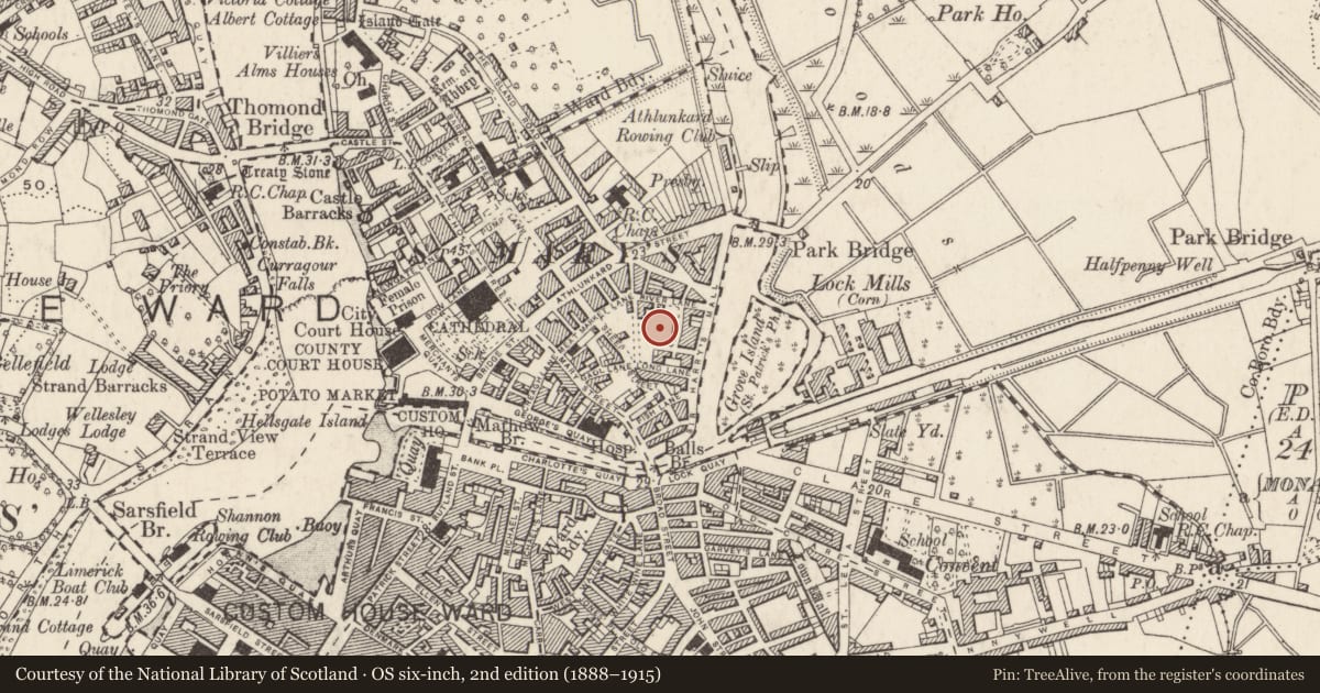
Slide toward Today to fade the historical sheet and see the modern map underneath.
David Rumsey Map Collection, Stanford LibrariesDavid Rumsey Map Collection, Stanford LibrariesDavid Rumsey Map Collection, Stanford LibrariesDavid Rumsey Map Collection, Stanford Libraries
4 historical maps cover this location, the earliest the 1790 map "Composite: Ireland." (David Rumsey Map Collection, Stanford Libraries).
Historical maps covering this location
- 1790 · Composite: Ireland. (David Rumsey Map Collection, Stanford Libraries)
- 1869 · Ireland. (David Rumsey Map Collection, Stanford Libraries)
- 1891 · Ireland 16 (David Rumsey Map Collection, Stanford Libraries)
- 1904 · Sheet 13. (David Rumsey Map Collection, Stanford Libraries)
This record in the National Monuments Service's Historic Environment Viewer ↗
The National Monuments Service's description
This is the record for the section of burial ground, [LI005-017143-) probably part of that belonging to the Franciscan Friary (LI005-079----), excavated by Linda G. Lynch (02E1665; 03E1364). The in situ remains of five individuals (four adults, one juvenile) were recorded, along with a quantity of disarticulated human remains. A single coffin with no discernible grave-cut was visible in the north-eastern corner of the excavation. A duplicate entry with LI005-017143-.
Nearby in the register
- Excavation - miscellaneousunder 1 mi
- Kilnunder 1 mi
- Excavation - miscellaneousunder 1 mi
- Burial groundunder 1 mi
Other entries of the same register within about three miles of this one, by straight line.