Sites and Monuments Record · Ireland
Battery
Limerick City,Farranshone More, County Limerick, Ireland
The record
- Townland
- Limerick City,Farranshone More
- County
- Limerick
- Country
- Ireland
- First-edition OS map
- Outlined
- Latest-edition OS map
- Hachured (1938)
- Coordinates
- 52.66234, -8.64770
- SMR number
- LI005-011----
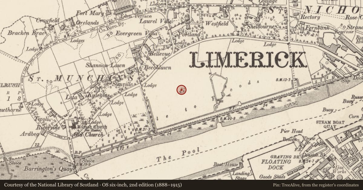
Slide toward Today to fade the historical sheet and see the modern map underneath.
David Rumsey Map Collection, Stanford LibrariesDavid Rumsey Map Collection, Stanford LibrariesDavid Rumsey Map Collection, Stanford LibrariesDavid Rumsey Map Collection, Stanford Libraries
4 historical maps cover this location, the earliest the 1790 map "Composite: Ireland." (David Rumsey Map Collection, Stanford Libraries).
Historical maps covering this location
- 1790 · Composite: Ireland. (David Rumsey Map Collection, Stanford Libraries)
- 1869 · Ireland. (David Rumsey Map Collection, Stanford Libraries)
- 1891 · Ireland 16 (David Rumsey Map Collection, Stanford Libraries)
- 1904 · Sheet 13. (David Rumsey Map Collection, Stanford Libraries)
This record in the National Monuments Service's Historic Environment Viewer ↗
The National Monuments Service's description
The remains would appear to be those of a battery. As it is not shown on the 1651 map of the siege works by William Webb (O’Flaherty 2010, map 15), it probably dates to either the sieges of 1690 or 1691. It may be identified with the battery shown at this location on the map of the siege of Limerick in 1691 (Story 1693, facing 224). It is shown and labelled with the letter ‘O’ on the map of Limerick by William Eyres drawn c. 1752 (O’Flaherty 2010, map 16) where it is described in the index as ‘The battery, the Irish [Jacobites] had to defend the passage of the river and annoy the troops that were encamped behind the works A [i.e., those erected by the Williamites on the opposite side of the river].’
Compiled by: Paul Walsh
Date of upload: 4 March 2018
References
O'Flaherty, E. 2010 Irish Historic Towns Atlas, no. 21, Limerick. Dublin. Royal Irish Academy.
Story, G. 1693 An impartial history of the wars of Ireland, with a continuation thereof. London. Chiswell.
Nearby in the register
- Children's burial groundunder 1 mi
- Churchunder 1 mi
- Graveyardunder 1 mi
- Earthworkunder 1 mi
Other entries of the same register within about three miles of this one, by straight line.