Sites and Monuments Record · Ireland
Excavation - miscellaneous
Hill of Rath, County Louth, Ireland
The record
- Townland
- Hill of Rath
- County
- Louth
- Country
- Ireland
- Coordinates
- 53.74160, -6.40171
- SMR number
- LH024-058003-
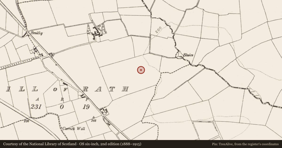
Slide toward Today to fade the historical sheet and see the modern map underneath.
David Rumsey Map Collection, Stanford LibrariesDavid Rumsey Map Collection, Stanford LibrariesDavid Rumsey Map Collection, Stanford LibrariesDavid Rumsey Map Collection, Stanford Libraries
4 historical maps cover this location, the earliest the 1636 map "Vltoniae Orientalis Pars" (David Rumsey Map Collection, Stanford Libraries).
Historical maps covering this location
- 1636 · Vltoniae Orientalis Pars (David Rumsey Map Collection, Stanford Libraries)
- 1799 · Ireland. (David Rumsey Map Collection, Stanford Libraries)
- 1811 · Ireland. (David Rumsey Map Collection, Stanford Libraries)
- 1891 · Ireland 16 (David Rumsey Map Collection, Stanford Libraries)
This record in the National Monuments Service's Historic Environment Viewer ↗
The National Monuments Service's description
Discovered prior to construction of the M1 motorway in 2000 (Excavation Licence No. 00E0535, Area C). Excavation revealed a complex of activities including a fulacht fia, cremations, a number of ditches and a metal working site. The fulacht fia (LH024-058001-) took the form of a burnt spread of material with a trough beneath it. Six cremations (LH024-058002-) were uncovered. Three of them contained sherds of pottery including Western Neolithic, Beaker and grooved ware pottery. Seven ditches (LH024-058003-) were recorded, three were straight, two curved and two L-shaped. Two sherds of Bronze Age pottery were recovered from the latter. One of the L-shaped ditches enclosed an area which probably functioned as a metal working site (LH024-058004-). Three pits were excavated containing charcoal and slag. Evidence for a smelting spread, furnaces and possible flues was uncovered. This complex was partially excavated to facilitate road development. (Duffy 2002, 231)
Compiled by: Claire Breen
Date of upload: 26 June 2013
References
Duffy, C. 2002 Hill of Rath. In I. Bennett (ed.), Excavations 2000: summary accounts of archaeological excavations in Ireland, 231-3 (No. 688). Bray. Wordwell.
Nearby in the register
- Fulacht fiaunder 1 mi
- Cremated remainsunder 1 mi
- Metalworking siteunder 1 mi
- Fulacht fiaunder 1 mi
Other entries of the same register within about three miles of this one, by straight line.