Sites and Monuments Record · Ireland
Graveslab
Lagavooren, County Louth, Ireland
The record
- Townland
- Lagavooren
- County
- Louth
- Country
- Ireland
- Coordinates
- 53.71024, -6.34736
- SMR number
- LH024-041103-
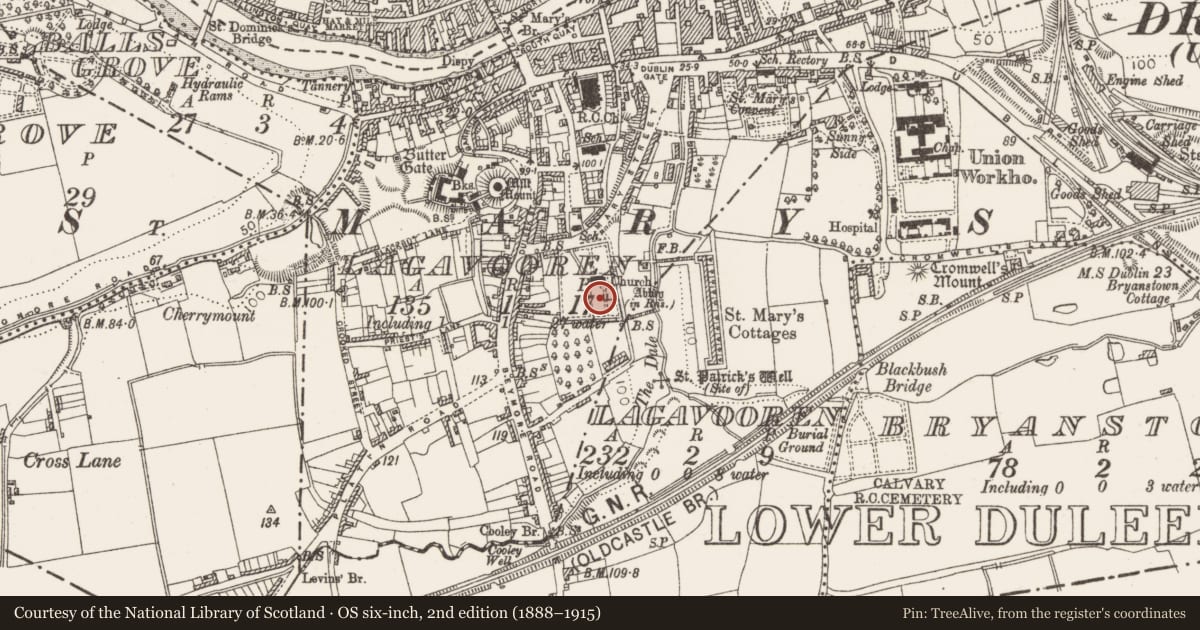
Slide toward Today to fade the historical sheet and see the modern map underneath.
David Rumsey Map Collection, Stanford LibrariesDavid Rumsey Map Collection, Stanford LibrariesDavid Rumsey Map Collection, Stanford LibrariesDavid Rumsey Map Collection, Stanford Libraries
4 historical maps cover this location, the earliest the 1790 map "Composite: Ireland." (David Rumsey Map Collection, Stanford Libraries).
Historical maps covering this location
- 1790 · Composite: Ireland. (David Rumsey Map Collection, Stanford Libraries)
- 1799 · Ireland. (David Rumsey Map Collection, Stanford Libraries)
- 1811 · Ireland. (David Rumsey Map Collection, Stanford Libraries)
- 1891 · Ireland 16 (David Rumsey Map Collection, Stanford Libraries)
This record in the National Monuments Service's Historic Environment Viewer ↗
The National Monuments Service's description
Limestone slab broken in two and situated in the graveyard immediately S of the church. A heraldic device in false relief has a shield divided with the letters C.L. and A.B. above the arms. The arms on the left are a chevron with three birds' heads, possibly eagles. The inscription briefly says 'hereunder lieth the corpse of Christopher Ledwiche sheriff of Drogheda and his wife who deceased 1642'. (CLAJ 1945, 26; Bradley 1984b, 96-7). One of four tomb or memorial slabs (see also LH024-041091-, LH024-041102-and LH024-041104-) located in the modern church and graveyard; all are seventeenth-century in date.
The above description is derived from the published 'Archaeological Survey of County Louth' (entry 943) (Dublin: Stationery Office, 1991). In certain instances the entries have been revised and updated in the light of recent research.
Date of upload: 21 June 2013
Nearby in the register
Other entries of the same register within about three miles of this one, by straight line.