Sites and Monuments Record · Ireland
Enclosure - large enclosure
Drumcar, County Louth, Ireland
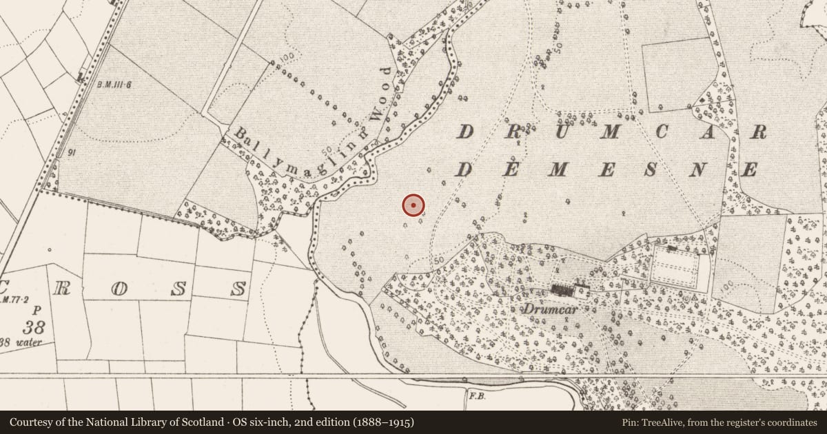
The record
- Townland
- Drumcar
- County
- Louth
- Country
- Ireland
- First-edition OS map
- Not indicated
- Latest-edition OS map
- Not indicated
- Coordinates
- 53.86390, -6.38501
- SMR number
- LH015-019----
Slide toward Today to fade the historical sheet and see the modern map underneath.
David Rumsey Map Collection, Stanford LibrariesDavid Rumsey Map Collection, Stanford LibrariesDavid Rumsey Map Collection, Stanford LibrariesDavid Rumsey Map Collection, Stanford Libraries
4 historical maps cover this location, the earliest the 1636 map "Vltoniae Orientalis Pars" (David Rumsey Map Collection, Stanford Libraries).
Historical maps covering this location
- 1636 · Vltoniae Orientalis Pars (David Rumsey Map Collection, Stanford Libraries)
- 1799 · Ireland. (David Rumsey Map Collection, Stanford Libraries)
- 1811 · Ireland. (David Rumsey Map Collection, Stanford Libraries)
- 1891 · Ireland 16 (David Rumsey Map Collection, Stanford Libraries)
This record in the National Monuments Service's Historic Environment Viewer ↗
The National Monuments Service's description
Located on a slight rise on the floodplain of the River Dee c. 3.5km from where it debouches into the sea at Annagassan, with a SW-NE section of the stream c. 70m to the NW. It is also on the demesne of Drumcar. A large oval enclosure (dims c. 90m NE-SW; c. 60m NW-SE) defined by a wide fosse (Wth c. 3-5m) is visible on Google Earth (21/07/2021). Other wide drainage features that might have been associated with meanders of the river are also visible. The enclosure is also visible as a slightly raised feature on Google Earth (05/10/2009; 28/01/2017). Thanks to Anthony Murphy for drawing attention to the Google Earth images.
See the attached enhanced virw from Google Earth (21/07/2021)
The above description is derived from both the published 'Archaeological Inventory of County Louth' (Dublin: Stationery Office, 1986) and the 'Archaeological Survey of County Louth' (Dublin: Stationery Office, 1991). In certain instances the entries have been revised and updated in the light of recent research.
Revised by: Michael Moore
Date of revision: 7 September 2021
Nearby in the register
- Ecclesiastical siteunder 1 mi
- Enclosureunder 1 mi
- Churchunder 1 mi
- Graveyardunder 1 mi
Other entries of the same register within about three miles of this one, by straight line.