Sites and Monuments Record · Ireland
Church
Bawn, County Louth, Ireland
The record
- Townland
- Bawn
- County
- Louth
- Country
- Ireland
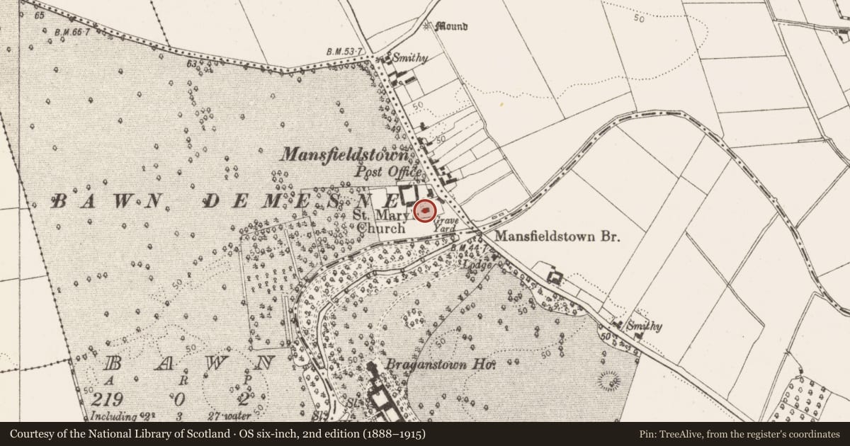
- First-edition OS map
- Church
- Latest-edition OS map
- St Marys Church
- Coordinates
- 53.89688, -6.44573
- SMR number
- LH015-004001-
Slide toward Today to fade the historical sheet and see the modern map underneath.
David Rumsey Map Collection, Stanford LibrariesDavid Rumsey Map Collection, Stanford LibrariesDavid Rumsey Map Collection, Stanford LibrariesDavid Rumsey Map Collection, Stanford Libraries
4 historical maps cover this location, the earliest the 1636 map "Vltoniae Orientalis Pars" (David Rumsey Map Collection, Stanford Libraries).
Historical maps covering this location
- 1636 · Vltoniae Orientalis Pars (David Rumsey Map Collection, Stanford Libraries)
- 1799 · Ireland. (David Rumsey Map Collection, Stanford Libraries)
- 1811 · Ireland. (David Rumsey Map Collection, Stanford Libraries)
- 1891 · Ireland 16 (David Rumsey Map Collection, Stanford Libraries)
This record in the National Monuments Service's Historic Environment Viewer ↗
The National Monuments Service's description
Built with limestone rubble and greywacke. Bellcote at W. Traceried window at E is a mixture of late medieval and nineteenth century work in limestone. S and N traceried windows are all of nineteenth-century limestone, but there are stone human head stop-mouldings on all of them which are late medieval, probably sixteenth-century in date. Another head appears over the apex of the arch of the E window. Church has undivided nave and chancel (ext. dims c. 12.6m E-W, c. 7.7m N-S) and is almost certainly fifteenth or sixteenth century in date, through it has later alterations and additions. The Episcopal Visitation of 1690 records: 'Church not in repair since the wars…' (Leslie 1908, 148-53). (CLAJ 1942, 107).
This is a National Monument, in state guardianship: No. 480.
The above description is derived from both the published 'Archaeological Inventory of County Louth' (Dublin: Stationery Office, 1986) and the 'Archaeological Survey of County Louth' (Dublin: Stationery Office, 1991). In certain instances the entries have been revised and updated in the light of recent research.
Date of revision: 17 July 2007
Nearby in the register
- Stone headunder 1 mi
- Stone headunder 1 mi
- Stone headunder 1 mi
- Stone headunder 1 mi
Other entries of the same register within about three miles of this one, by straight line.