Sites and Monuments Record · Ireland
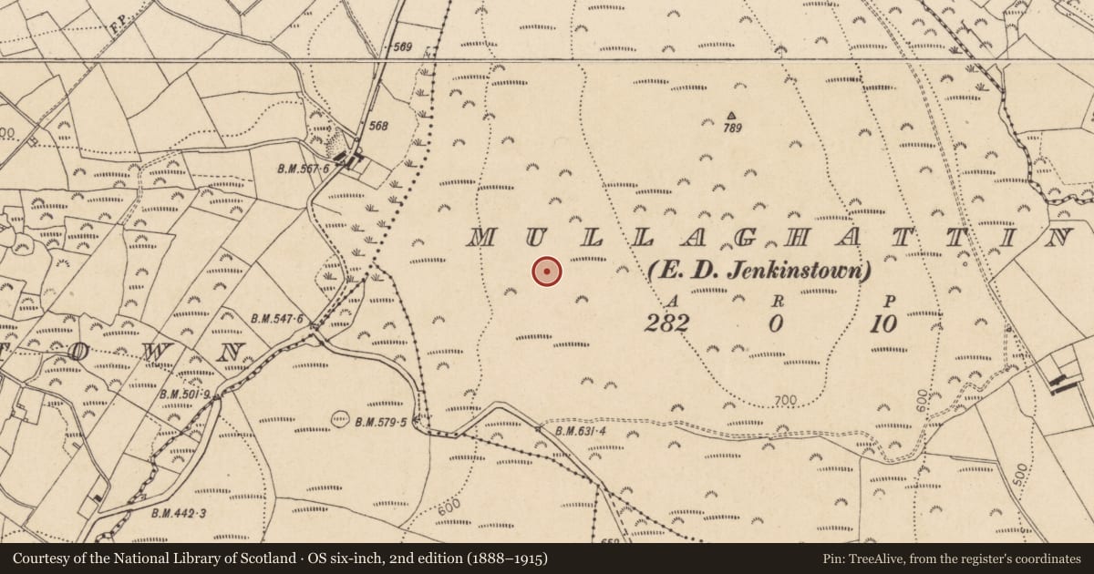
Enclosure
Mullaghattin (Dundalk Lwr by; Ballymascanlan par.), County Louth, Ireland
The record
- Townland
- Mullaghattin (Dundalk Lwr by; Ballymascanlan par.)
- County
- Louth
- Country
- Ireland
- First-edition OS map
- Not indicated
- Latest-edition OS map
- Not indicated
- Coordinates
- 54.03032, -6.27636
- SMR number
- LH008-119----
Slide toward Today to fade the historical sheet and see the modern map underneath.
David Rumsey Map Collection, Stanford LibrariesDavid Rumsey Map Collection, Stanford LibrariesDavid Rumsey Map Collection, Stanford LibrariesDavid Rumsey Map Collection, Stanford Libraries
4 historical maps cover this location, the earliest the 1636 map "Vltoniae Orientalis Pars" (David Rumsey Map Collection, Stanford Libraries).
Historical maps covering this location
- 1636 · Vltoniae Orientalis Pars (David Rumsey Map Collection, Stanford Libraries)
- 1799 · Ireland. (David Rumsey Map Collection, Stanford Libraries)
- 1811 · Ireland. (David Rumsey Map Collection, Stanford Libraries)
- 1891 · Ireland 16 (David Rumsey Map Collection, Stanford Libraries)
This record in the National Monuments Service's Historic Environment Viewer ↗
The National Monuments Service's description
Aerial photograph (GB91.DB. 28) shows a circular enclosure defined by a bank probably constructed of stones and/or earth. A smaller earthwork enclosure is located in close proximity to the north-east.
Compiled by: Dr Gillian Barrett for the Archaeological Survey of Ireland.
Date of upload: 22 December 2010
Nearby in the register
- Earthworkunder 1 mi
- Fulacht fiaunder 1 mi
- Ringfort - rathunder 1 mi
- Enclosureunder 1 mi
Other entries of the same register within about three miles of this one, by straight line.