Sites and Monuments Record · Ireland
Metalworking site
Aghnaskeagh, County Louth, Ireland
The record
- Townland
- Aghnaskeagh
- County
- Louth
- Country
- Ireland
- First-edition OS map
- Not indicated
- Latest-edition OS map
- Megalithic Structure
- Coordinates
- 54.06128, -6.35797
- SMR number
- LH004-032003-
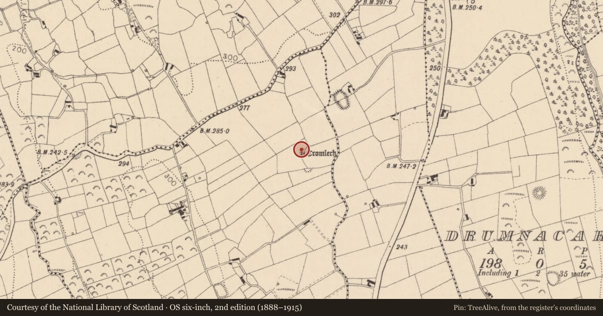
Slide toward Today to fade the historical sheet and see the modern map underneath.
David Rumsey Map Collection, Stanford LibrariesDavid Rumsey Map Collection, Stanford LibrariesDavid Rumsey Map Collection, Stanford LibrariesDavid Rumsey Map Collection, Stanford Libraries
4 historical maps cover this location, the earliest the 1636 map "Vltoniae Orientalis Pars" (David Rumsey Map Collection, Stanford Libraries).
Historical maps covering this location
- 1636 · Vltoniae Orientalis Pars (David Rumsey Map Collection, Stanford Libraries)
- 1799 · Ireland. (David Rumsey Map Collection, Stanford Libraries)
- 1811 · Ireland. (David Rumsey Map Collection, Stanford Libraries)
- 1891 · Ireland 16 (David Rumsey Map Collection, Stanford Libraries)
This record in the National Monuments Service's Historic Environment Viewer ↗
The National Monuments Service's description
Excavated by E. E. Evans in 1934. At NE end of cairn (LH004-032001-) was a primitive furnace, 'stoke hole' and flue used in iron-working. The structure consisted of an unlined furnace, using fused clay as walling. This type of bowl furnace probably had courses of stones added as heightening. Extending from the bowl was a flue (L c. 2m, Wth c. 0.3m) roughly D-shaped in section. The door of the furnace faced SW, obviously to catch the prevailing wind, and led to a small 'stoke hole' and a paved pathway (L c. 2m, Wth c. 0.3m) roughly D-shaped in section. The door of the furnace faced SW, obviously to catch the prevailing wind, and led to a small 'stoke hole' and a paved pathway (L c. 1.7m) of granite slabs. The excavator has suggested that smelting took place at the mouth of Cist 3 (LH004-032002-). (CLAJ 1935, 234-55)
The above description is derived from both the published 'Archaeological Inventory of County Louth' (Dublin: Stationery Office, 1986) and the 'Archaeological Survey of County Louth' (Dublin: Stationery Office, 1991). In certain instances the entries have been revised and updated in the light of recent research.
Date of upload/revision: 17 July 2007
Nearby in the register
- Megalithic tomb - portal tombunder 1 mi
- Cairn - unclassifiedunder 1 mi
- Cistunder 1 mi
- Cistunder 1 mi
Other entries of the same register within about three miles of this one, by straight line.