Sites and Monuments Record · Ireland
Megalithic tomb - passage tomb
Ravensdale Park, County Louth, Ireland
The record
- Townland
- Ravensdale Park
- County
- Louth
- Country
- Ireland
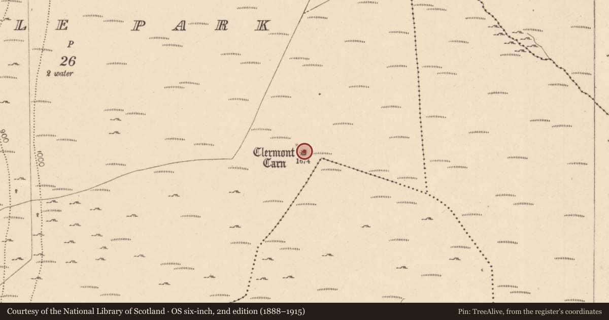
- First-edition OS map
- Clermont Carn
- Latest-edition OS map
- Clermont Carn
- Coordinates
- 54.07923, -6.32153
- SMR number
- LH004-004----
Slide toward Today to fade the historical sheet and see the modern map underneath.
David Rumsey Map Collection, Stanford LibrariesDavid Rumsey Map Collection, Stanford LibrariesDavid Rumsey Map Collection, Stanford LibrariesDavid Rumsey Map Collection, Stanford Libraries
4 historical maps cover this location, the earliest the 1636 map "Vltoniae Orientalis Pars" (David Rumsey Map Collection, Stanford Libraries).
Historical maps covering this location
- 1636 · Vltoniae Orientalis Pars (David Rumsey Map Collection, Stanford Libraries)
- 1799 · Ireland. (David Rumsey Map Collection, Stanford Libraries)
- 1811 · Ireland. (David Rumsey Map Collection, Stanford Libraries)
- 1891 · Ireland 16 (David Rumsey Map Collection, Stanford Libraries)
This record in the National Monuments Service's Historic Environment Viewer ↗
The National Monuments Service's description
This circular hilltop cairn, 21m in diameter and over 4m in height, contains the remains of a megalithic structure 3.5m long, in the SW quadrant. It is open to the SW and narrows from 1m wide to 0.5m at the rear. Three lintels are in position; the rear 0.7m of the structure is corbelled. The remains would seem to be those of a passage-tomb of uncertain design. Near the centre of the cairn are the remains of a drystone-walled circular structure, 3.3m in diameter, with an entrance passage opening to the SE, which may have been built by Lord Clermont. (CLAJ 1941, 77-9; Herity 1974, 232).
This is a National Monument, in state ownership: No. 597.
The above description is derived from both the published 'Archaeological Inventory of County Louth' (Dublin: Stationery Office, 1986) and the 'Archaeological Survey of County Louth' (Dublin: Stationery Office, 1991). In certain instances the entries have been revised and updated in the light of recent research.
Date of upload: 17 July 2007
Nearby in the register
- Stone circleunder 1 mi
- Standing stoneunder 1 mi
- Standing stone1 mi
- Standing stone1 mi
Other entries of the same register within about three miles of this one, by straight line.