Sites and Monuments Record · Ireland
Castle - unclassified
Castlecore, County Longford, Ireland
The record
- Townland
- Castlecore
- County
- Longford
- Country
- Ireland
- First-edition OS map
- Not indicated
- Latest-edition OS map
- Not indicated
- Coordinates
- 53.56291, -7.79422
- SMR number
- LF026-013002-
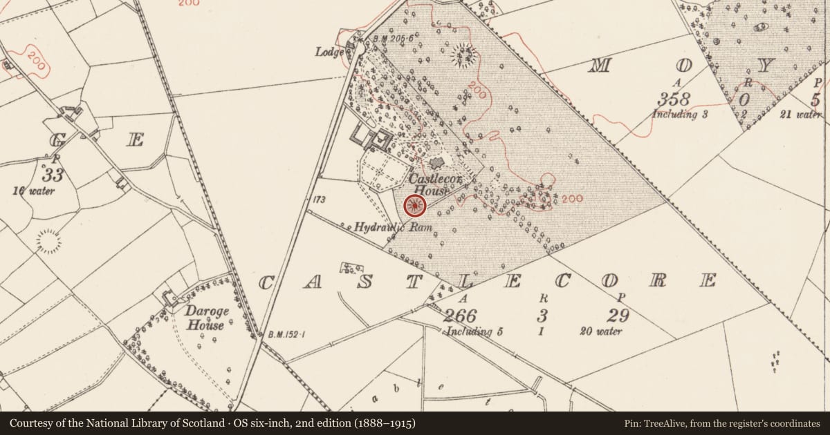
Slide toward Today to fade the historical sheet and see the modern map underneath.
David Rumsey Map Collection, Stanford LibrariesDavid Rumsey Map Collection, Stanford LibrariesDavid Rumsey Map Collection, Stanford LibrariesDavid Rumsey Map Collection, Stanford Libraries
4 historical maps cover this location, the earliest the 1790 map "Composite: Ireland." (David Rumsey Map Collection, Stanford Libraries).
Historical maps covering this location
- 1790 · Composite: Ireland. (David Rumsey Map Collection, Stanford Libraries)
- 1811 · Ireland. (David Rumsey Map Collection, Stanford Libraries)
- 1869 · Ireland. (David Rumsey Map Collection, Stanford Libraries)
- 1891 · Ireland 16 (David Rumsey Map Collection, Stanford Libraries)
This record in the National Monuments Service's Historic Environment Viewer ↗
The National Monuments Service's description
Associated with a motte (LF026-013001-). In 1518 the rental book of the earl of Kildare records payment from ‘Castell Corr 2 cartrons with the werys [LF026-013003-]’ (Mac Niocaill 1992, 275). A castle is depicted on an early 17th-century map of Rathcline barony (BL, Cotton MS Augustus I.i.48). The remains of a short stretch of a mortared rubble wall (H 3m; Wall T 2m; L 4m) on the E edge of the summit of the motte may be the remains of this castle. (SMR file 1976)
Compiled by: Caimin O'Brien
Date of upload: 2 October 2012
References
SMR file - Sites and monuments record files in the National Monuments Service, Department of Housing, Local Government and Heritage.
Mac Niocaill, G. (ed.) 1992 Crown surveys of lands, 1540-41: with the Kildare rental begun in 1518. Dublin. Irish Manuscripts Commission.
British Library, Cotton Manuscripts, Augustus I. Charts of the baronies of Granard, Rathcline, Longford, Ardagh, Shrule and Moydow, County Longford. London. (microfilm, NLI p. 1364)
Nearby in the register
- Castle - motteunder 1 mi
- Ringfort - rathunder 1 mi
- Ringfort - rathunder 1 mi
- Cross-inscribed stoneunder 1 mi
Other entries of the same register within about three miles of this one, by straight line.