Sites and Monuments Record · Ireland
Cross-inscribed stone
Inchcleraun, County Longford, Ireland
The record
- Townland
- Inchcleraun
- County
- Longford
- Country
- Ireland
- First-edition OS map
- Not indicated
- Latest-edition OS map
- Not indicated
- Coordinates
- 53.58234, -8.00699
- SMR number
- LF021-048025-
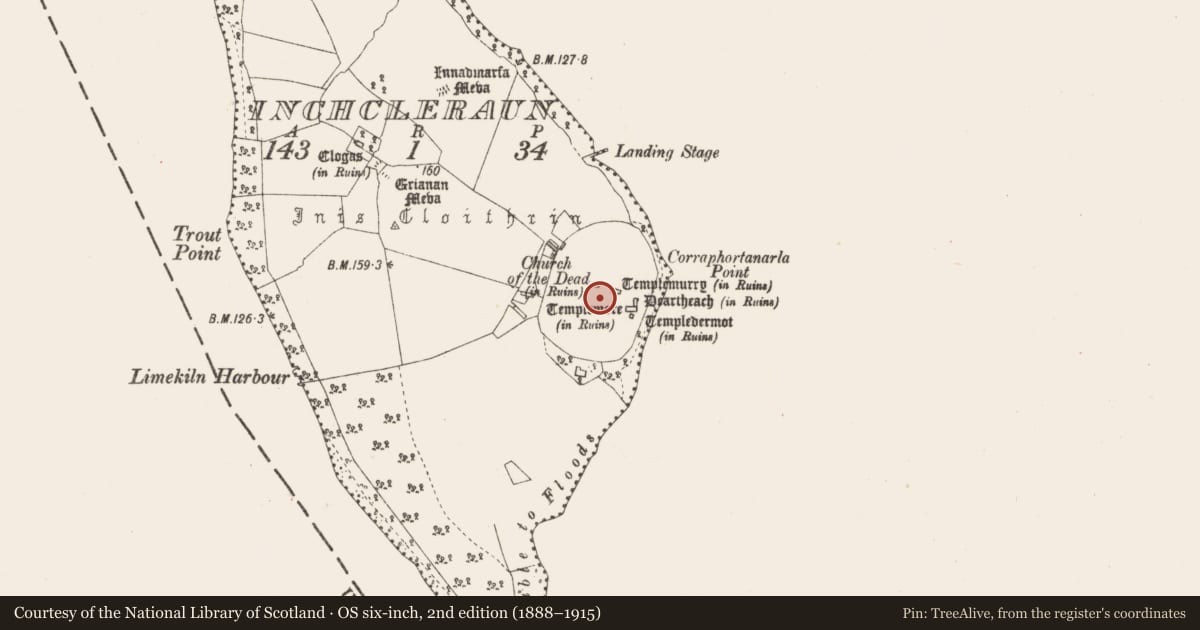
Slide toward Today to fade the historical sheet and see the modern map underneath.
David Rumsey Map Collection, Stanford LibrariesDavid Rumsey Map Collection, Stanford LibrariesDavid Rumsey Map Collection, Stanford LibrariesDavid Rumsey Map Collection, Stanford Libraries
4 historical maps cover this location, the earliest the 1790 map "Composite: Ireland." (David Rumsey Map Collection, Stanford Libraries).
Historical maps covering this location
- 1790 · Composite: Ireland. (David Rumsey Map Collection, Stanford Libraries)
- 1811 · Ireland. (David Rumsey Map Collection, Stanford Libraries)
- 1869 · Ireland. (David Rumsey Map Collection, Stanford Libraries)
- 1891 · Ireland 16 (David Rumsey Map Collection, Stanford Libraries)
This record in the National Monuments Service's Historic Environment Viewer ↗
The National Monuments Service's description
Possible cross-inscribed stone recorded from Inchcleraun that is listed in the OPW Carved Stone Inventory as stone no. 2964 which was removed from Inchcleraun c.25-30 years before acquisition (1932) by the Dean of Clonmacnoise when it was being removed by tourists. Acquired by the National Museum of Ireland 1933 (NMI Reg. No. 1933:597) where it is how housed (HAB:C8:24). Described in the inventory as an incomplete sandstone slab (H 0.2m x Wth 0.24m x D 0.06m) of 7th century date decorated with a carving of a cross in false relief, one with expanded terminals. A square at the terminals and a square at the intersections, back pecked away to give a corresponding cruciform pattern.
Compiled by: Caimin O'Brien
Date of upload: 20 February 2023
Nearby in the register
- Leachtunder 1 mi
- Ecclesiastical enclosureunder 1 mi
- Burial groundunder 1 mi
- Buildingunder 1 mi
Other entries of the same register within about three miles of this one, by straight line.