Sites and Monuments Record · Ireland
Road - class 3 togher
Cloonfore, County Longford, Ireland
The record
- Townland
- Cloonfore
- County
- Longford
- Country
- Ireland
- Latest-edition OS map
- Not indicated
- Coordinates
- 53.66692, -7.92174
- SMR number
- LF018-121----
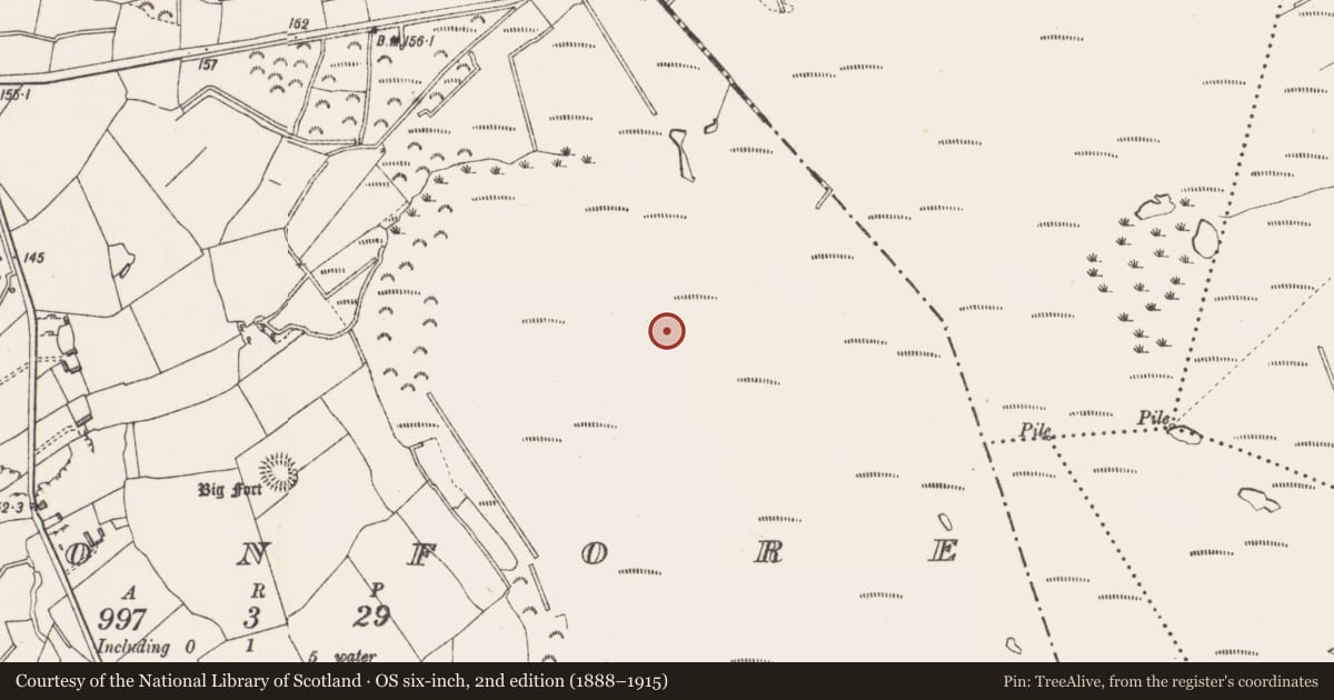
Slide toward Today to fade the historical sheet and see the modern map underneath.
David Rumsey Map Collection, Stanford LibrariesDavid Rumsey Map Collection, Stanford LibrariesDavid Rumsey Map Collection, Stanford LibrariesDavid Rumsey Map Collection, Stanford Libraries
4 historical maps cover this location, the earliest the 1790 map "Composite: Ireland." (David Rumsey Map Collection, Stanford Libraries).
Historical maps covering this location
- 1790 · Composite: Ireland. (David Rumsey Map Collection, Stanford Libraries)
- 1811 · Ireland. (David Rumsey Map Collection, Stanford Libraries)
- 1869 · Ireland. (David Rumsey Map Collection, Stanford Libraries)
- 1891 · Ireland 16 (David Rumsey Map Collection, Stanford Libraries)
This record in the National Monuments Service's Historic Environment Viewer ↗
The National Monuments Service's description
This togher (exposed L 10m, Wth 1.1m, T 0.32m) was composed of mainly small and occasional large brushwood and twigs, and was orientated WSW-ENE (Dunne 2002e, 204-5). A number of pegs were recorded along the centre. Originally recorded as 12A and 12B (Dunne 1999, 44, 99DD0012A-B). 12A was located on the field surface and was being milled (exposed L 0.7m, Wth 1.7m). Two parallel, longitudinal, large pieces of brushwood (diam. 0.045-0.05m) formed the sides and centre. The body of the togher comprised more than 50 tightly packed, small pieces of brushwood (diam. 0.015-0.02m and 0.03m max.) along with some twigs, all aligned longitudinally. The pieces of brushwood had fractures in such a way as to suggest the presence of transverse elements underneath. There was no visible evidence of woodworking. 12B, 8m E on the same field surface, consisted of a small exposure of similar form, suggesting a continuation of the togher.
Compiled by: Mary Tunney based on data supplied by Jane Whitaker, Archaeological Development Services.
Date of upload: 26 August 2011
Nearby in the register
- Road - class 3 togherunder 1 mi
- Platform - peatlandunder 1 mi
- Road - class 3 togherunder 1 mi
- Road - class 2 togherunder 1 mi
Other entries of the same register within about three miles of this one, by straight line.