Sites and Monuments Record · Ireland
Castle - motte and bailey
Tully (Granard By.), County Longford, Ireland
The record
- Townland
- Tully (Granard By.)
- County
- Longford
- Country
- Ireland
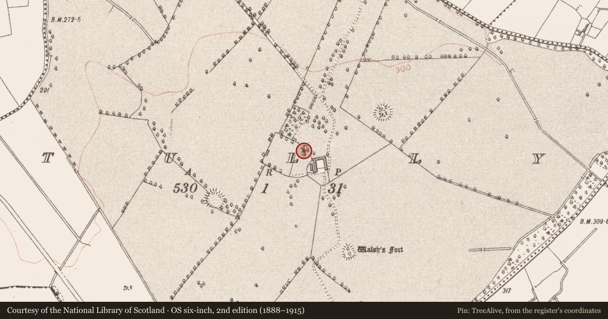
- First-edition OS map
- Castle
- Latest-edition OS map
- Not indicated
- Coordinates
- 53.73898, -7.55859
- SMR number
- LF015-016001-
Slide toward Today to fade the historical sheet and see the modern map underneath.
David Rumsey Map Collection, Stanford LibrariesDavid Rumsey Map Collection, Stanford LibrariesDavid Rumsey Map Collection, Stanford LibrariesDavid Rumsey Map Collection, Stanford Libraries
4 historical maps cover this location, the earliest the 1790 map "Composite: Ireland." (David Rumsey Map Collection, Stanford Libraries).
Historical maps covering this location
- 1790 · Composite: Ireland. (David Rumsey Map Collection, Stanford Libraries)
- 1811 · Ireland. (David Rumsey Map Collection, Stanford Libraries)
- 1869 · Ireland. (David Rumsey Map Collection, Stanford Libraries)
- 1891 · Ireland 16 (David Rumsey Map Collection, Stanford Libraries)
This record in the National Monuments Service's Historic Environment Viewer ↗
The National Monuments Service's description
On a prominent hill in pasture; within a demesne. A roughly circular steep-sided mound of earth and stone (c. 32m NNW-SSE; 28.5m ENE-WSW; H c. 3.5-5m) with a relatively flat summit (9m NNW-SE; 7.5m ENE-SW). A large cresentic-shaped bailey (50.5m NW-SE; 29m NE-SW), defined by a scarp (H c. 0.2-2m), is visible from NNW-N-SE and is steepest from N-NE-E where it was cut into the side of the hill. Elsewhere it is much more poorly defined. Mature sycamore and beech trees are growing on a wide berm (Wth c. 2.5m) that was cut into the motte at a height of between c. 1.5m and c. 2m above ground level. This development was probably undertaken in the 18th or early 19th centuries as part of the landscaping of the demesne. At the SE edge of the bailey a linear ditch (L c. 8m; Wth c. 2.5m; D 0.1-0.3m) is probably a relatively modern feature. An unclassified castle (LF015-016----) lies c. 30m to the N.
Compiled by: Patrick F. O'Donovan
Date of upload: 28 March 2012
Nearby in the register
- Bawnunder 1 mi
- Castle - unclassifiedunder 1 mi
- Ringfort - rathunder 1 mi
- House - indeterminate dateunder 1 mi
Other entries of the same register within about three miles of this one, by straight line.