Sites and Monuments Record · Ireland
Ringfort - rath
Drumsna, County Leitrim, Ireland
The record
- Townland
- Drumsna
- County
- Leitrim
- Country
- Ireland
- First-edition OS map
- Not indicated
- Latest-edition OS map
- Not indicated
- Coordinates
- 53.92878, -8.01201
- SMR number
- LE031-107----
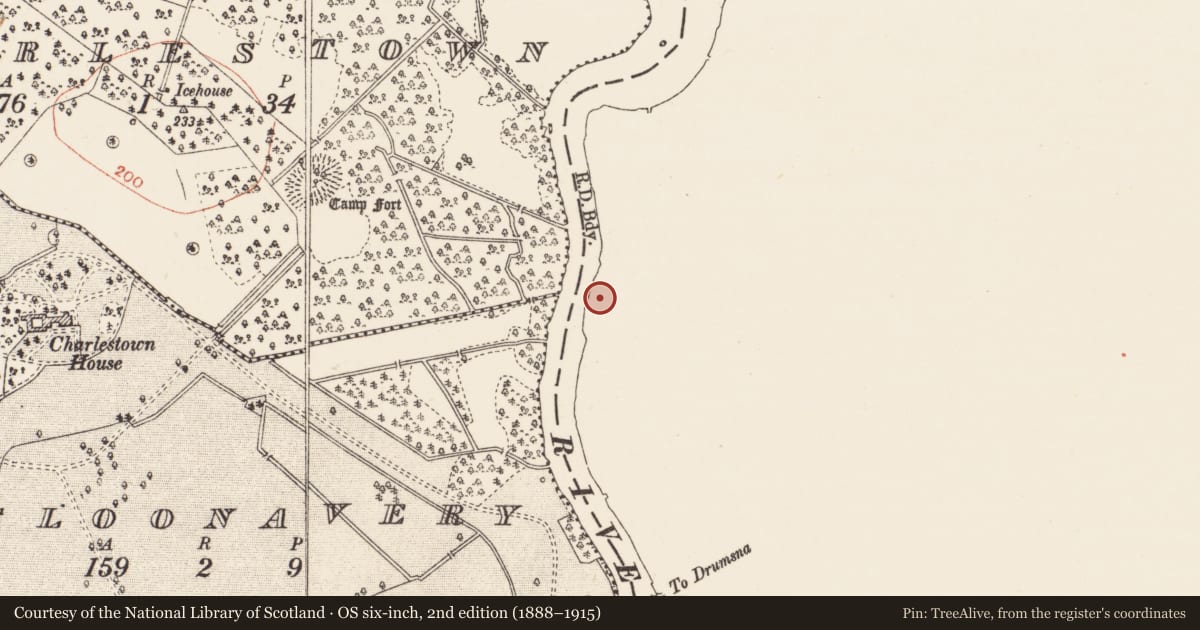
Slide toward Today to fade the historical sheet and see the modern map underneath.
David Rumsey Map Collection, Stanford LibrariesDavid Rumsey Map Collection, Stanford LibrariesDavid Rumsey Map Collection, Stanford LibrariesDavid Rumsey Map Collection, Stanford Libraries
4 historical maps cover this location, the earliest the 1790 map "Composite: Ireland." (David Rumsey Map Collection, Stanford Libraries).
Historical maps covering this location
- 1790 · Composite: Ireland. (David Rumsey Map Collection, Stanford Libraries)
- 1811 · Ireland. (David Rumsey Map Collection, Stanford Libraries)
- 1869 · Ireland. (David Rumsey Map Collection, Stanford Libraries)
- 1891 · Ireland 16 (David Rumsey Map Collection, Stanford Libraries)
This record in the National Monuments Service's Historic Environment Viewer ↗
The National Monuments Service's description
Located on a rise in the flood-plain of the N-S River Shannon, although the ground rises c. 50m to the E. It is on the E bank and the river diverts around it a little N-W, so it may be on a plug of rock-outcrop, although none is visible at the surface. It was first identified by S. Curran from a LIDaR survey conducted for Leitrim County Council in advance of a proposed by-pass on the N4 around Carrick-on-Shannon.
This is an oval grass-covered area (dims 34.4m N-S; 26.1m E-W) defined by an earthen bank (Wth 3-3.2m; int. H 0.1m at W to 0.8m at N; ext. H 1.5m at W to 2.2m at N) with bushes W-N, and by a rounded fosse (Wth of top 8.9-9.4m; int. D 0.4-0.6m; ext. D 0.1-0.5m) N-SSE, but the original perimeter cannot be traced elsewhere. The limit is defined by an E-W field bank at S (L c. 25m) and a N-S scarp (L c. 22m) at W. There is no visible entrance. There is a berm (Wth 2-4m) at the base of the bank W-N, between it and the channel of the river.
Compiled by: Michael Moore
Date of upload: 9 April, 2013
Nearby in the register
- Enclosureunder 1 mi
- Ringfort - rathunder 1 mi
- Ringfort - rathunder 1 mi
- Burial groundunder 1 mi
Other entries of the same register within about three miles of this one, by straight line.