Sites and Monuments Record · Ireland
Graveyard
Oughteragh, County Leitrim, Ireland
The record
- Townland
- Oughteragh
- County
- Leitrim
- Country
- Ireland
- First-edition OS map
- Grave Yard
- Latest-edition OS map
- Oughteragh Grave Yard
- Coordinates
- 54.06413, -7.80452
- SMR number
- LE025-008002-
Slide toward Today to fade the historical sheet and see the modern map underneath.
David Rumsey Map Collection, Stanford LibrariesDavid Rumsey Map Collection, Stanford LibrariesDavid Rumsey Map Collection, Stanford LibrariesDavid Rumsey Map Collection, Stanford Libraries
4 historical maps cover this location, the earliest the 1790 map "Composite: Ireland." (David Rumsey Map Collection, Stanford Libraries).
Historical maps covering this location
- 1790 · Composite: Ireland. (David Rumsey Map Collection, Stanford Libraries)
- 1869 · Ireland. (David Rumsey Map Collection, Stanford Libraries)
- 1891 · Ireland 16 (David Rumsey Map Collection, Stanford Libraries)
- 1922 · Ireland - northern section. (David Rumsey Map Collection, Stanford Libraries)
This record in the National Monuments Service's Historic Environment Viewer ↗
The National Monuments Service's description
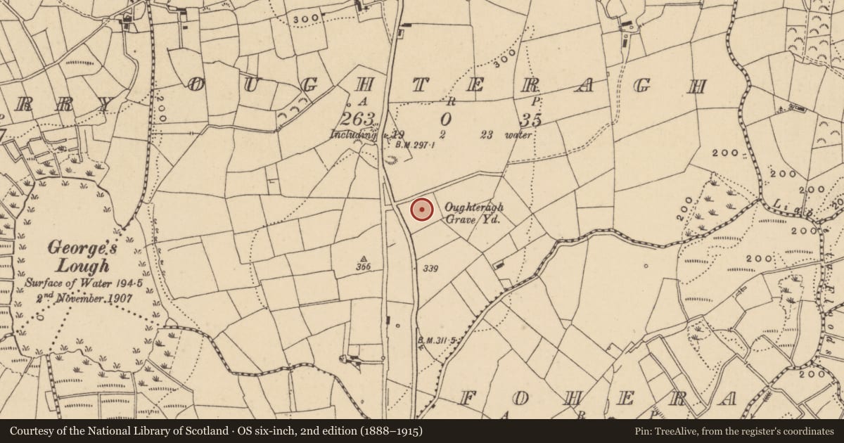
Located on a slight rise at the outer edge of a shelf towards the top of the E-facing slope of a broad drumlin. The site of the medieval parish church of Oughteragh (LE025-008001-) is within a small circular graveyard (diam. c. 30m) which is depicted at the E end of a lane (L c. 70m) from a public road to the W on the 1835 edition of the OS 6-inch map. The old graveyard still has a masonry wall on its perimeter NW-E-SE, but is now part of a large rectangular graveyard (dims c. 75m NE-SW; c. 75m NW-SE) that has been extended further to the SE and NE. The head of a pointed window from the church is in the graveyard, but a stone head known as St. Bridget’s Head (LE025-008004-) is now at the Roman Catholic church in Ballinamore (LE025-118----). There was a holy well dedicated to St Bridget (LE025-008003-) in the vicinity of the graveyard but its precise location is not known. The holy well (LE025-009----) c. 550m to the NNE is still frequented and reached by the lane running E from the graveyard and a path through the fields northwards.
Compiled by: Michael Moore
Date of upload; 5 July, 2017
Nearby in the register
- Architectural fragmentunder 1 mi
- Churchunder 1 mi
- Ritual site - holy wellunder 1 mi
- Ritual site - holy wellunder 1 mi
Other entries of the same register within about three miles of this one, by straight line.