Sites and Monuments Record · Ireland
Hut site
Fawnlion, County Leitrim, Ireland
The record
- Townland
- Fawnlion
- County
- Leitrim
- Country
- Ireland
- First-edition OS map
- Not indicated
- Latest-edition OS map
- Not indicated
- Coordinates
- 54.28863, -8.32468
- SMR number
- LE010-085003-
Slide toward Today to fade the historical sheet and see the modern map underneath.
David Rumsey Map Collection, Stanford LibrariesDavid Rumsey Map Collection, Stanford LibrariesDavid Rumsey Map Collection, Stanford LibrariesDavid Rumsey Map Collection, Stanford Libraries
4 historical maps cover this location, the earliest the 1869 map "Ireland." (David Rumsey Map Collection, Stanford Libraries).
Historical maps covering this location
- 1869 · Ireland. (David Rumsey Map Collection, Stanford Libraries)
- 1891 · Ireland 16 (David Rumsey Map Collection, Stanford Libraries)
- 1904 · Sheet 4. (David Rumsey Map Collection, Stanford Libraries)
- 1922 · Ireland - northern section. (David Rumsey Map Collection, Stanford Libraries)
This record in the National Monuments Service's Historic Environment Viewer ↗
The National Monuments Service's description
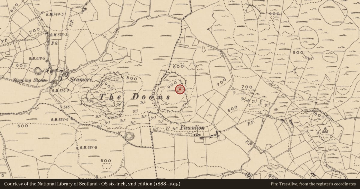
Situated within a hillfort (LE010-085005-) on a plateau of outcropping rock with panoramic views in all directions. This is a poorly preserved hut site consisting of a circular sunken interior (int. diam. 6.3m N-S; 6.5m E-W) defined by a low earthen bank (Wth 1.5m; ext. H 0.1m) with no clear entrance feature visible. A second possible adjoining hut-site (LE010-085002-) is located just to the NW and a sunken circular quarry like feature (LE010-085001-) is 13m to the SSW. The lack of a clearly defined entrance feature along with its hilltop location may suggest that this was a barrow or some other form of burial monument rather than a hut site. (Kytmannow, Kahlert and Hunt 2010)
Compiled by: Caimin O'Brien
Date of upload: 19 November 2012
References
Kytmannow, T., Kahlert, T. and Hunt, C. 2010 The Doons Hillfort. Archaeology Ireland 24(3), 18-21.
Nearby in the register
- Hut siteunder 1 mi
- Hillfortunder 1 mi
- Enclosureunder 1 mi
- Kerb circleunder 1 mi
Other entries of the same register within about three miles of this one, by straight line.