Sites and Monuments Record · Ireland
Megalithic structure
Sramore, County Leitrim, Ireland
The record
- Townland
- Sramore
- County
- Leitrim
- Country
- Ireland
- Latest-edition OS map
- Not indicated
- Coordinates
- 54.29155, -8.33400
- SMR number
- LE010-002002-
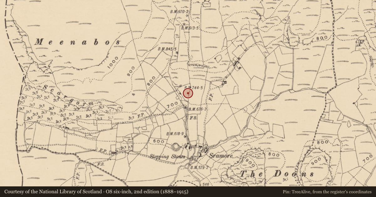
Slide toward Today to fade the historical sheet and see the modern map underneath.
David Rumsey Map Collection, Stanford LibrariesDavid Rumsey Map Collection, Stanford LibrariesDavid Rumsey Map Collection, Stanford LibrariesDavid Rumsey Map Collection, Stanford Libraries
4 historical maps cover this location, the earliest the 1869 map "Ireland." (David Rumsey Map Collection, Stanford Libraries).
Historical maps covering this location
- 1869 · Ireland. (David Rumsey Map Collection, Stanford Libraries)
- 1891 · Ireland 16 (David Rumsey Map Collection, Stanford Libraries)
- 1904 · Sheet 4. (David Rumsey Map Collection, Stanford Libraries)
- 1922 · Ireland - northern section. (David Rumsey Map Collection, Stanford Libraries)
This record in the National Monuments Service's Historic Environment Viewer ↗
The National Monuments Service's description
Described by de Valera and Ó Nualláin (1972, 60) as follows: ‘Some 10 m. northwards from the tomb [LE010-002001-] is a small group of stones varying from .30 m. to 1.05 m. in maximum dimension and from .35 m. to .75 m. in height. These stones, which form no recognizable arrangement, are covered by a slab measuring 2.50 m. in maximum dimension. The structure, which may be partly natural, bears a superficial resemblance to a megalithic chamber. The stones are incorporated in the southern side of a rectangular platform or low mound measuring 25 m. long E-W, and 12 m. wide N-S. A pile of stones at the western end of the platform appears to be the ruins of a house or hut.’ The remains have been interpreted as representing those of megalithic tomb (Kytmannow, Kahlert and Hunt 2010).
Compiled by: Paul Walsh
Date of upload: 20 November 2012
References
de Valera, R. and Ó Nualláin, S. 1972 Survey of the megalithic tombs of Ireland, vol. 3, Counties Galway, Roscommon, Leitrim, Longford, Westmeath, Laoighis, Offaly, Kildare, Cavan. Dublin. Stationery Office.
Kytmannow, T., Kahlert, T. and Hunt, C. 2010 The Doons Hillfort. Archaeology Ireland 24(3), 18-21.
Nearby in the register
- Hut siteunder 1 mi
- Megalithic tomb - wedge tombunder 1 mi
- Ringfort - rathunder 1 mi
- Ringfort - rathunder 1 mi
Other entries of the same register within about three miles of this one, by straight line.