Sites and Monuments Record · Ireland
Architectural fragment
Gubalaun, County Leitrim, Ireland
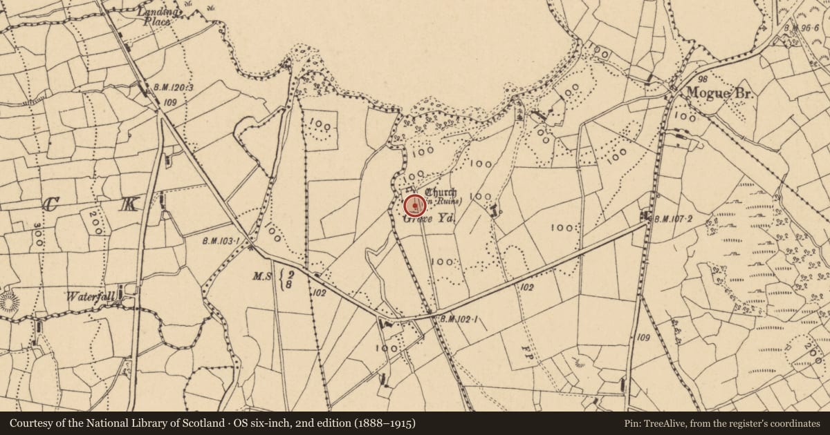
The record
- Townland
- Gubalaun
- County
- Leitrim
- Country
- Ireland
- First-edition OS map
- Not indicated
- Latest-edition OS map
- Not indicated
- Coordinates
- 54.39628, -8.11823
- SMR number
- LE005-003009-
Slide toward Today to fade the historical sheet and see the modern map underneath.
David Rumsey Map Collection, Stanford LibrariesDavid Rumsey Map Collection, Stanford LibrariesDavid Rumsey Map Collection, Stanford LibrariesDavid Rumsey Map Collection, Stanford Libraries
4 historical maps cover this location, the earliest the 1869 map "Ireland." (David Rumsey Map Collection, Stanford Libraries).
Historical maps covering this location
- 1869 · Ireland. (David Rumsey Map Collection, Stanford Libraries)
- 1891 · Ireland 16 (David Rumsey Map Collection, Stanford Libraries)
- 1904 · Sheet 4. (David Rumsey Map Collection, Stanford Libraries)
- 1922 · Ireland - northern section. (David Rumsey Map Collection, Stanford Libraries)
This record in the National Monuments Service's Historic Environment Viewer ↗
The National Monuments Service's description
Davies (1946b, 77) describes an architectural fragment (L 0.62m; H 0.26m; T 0.16-0.17m) with a portion of a trefoil-headed arcade in relief on it, which might have come from a tomb face, which is set up as a grave-marker.
Compiled by: Michael Moore
Date of revised upload: 3 July, 2017
References
Davies, O. 1946b Old churches in the parish of Rossinver, Co. Leitrim. Ulster Journal of Archaeology 2nd Series, 9, 76-9.
Nearby in the register
- Cupmarked stoneunder 1 mi
- Cross-slabunder 1 mi
- Cross-slabunder 1 mi
- Graveyardunder 1 mi
Other entries of the same register within about three miles of this one, by straight line.