Sites and Monuments Record · Ireland
Penal Mass station
Deerpark (Knocktopher By.), County Kilkenny, Ireland
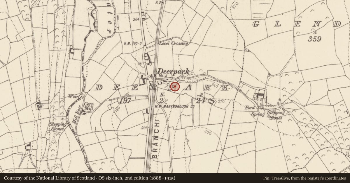
The record
- Townland
- Deerpark (Knocktopher By.)
- County
- Kilkenny
- Country
- Ireland
- First-edition OS map
- Indicated
- Latest-edition OS map
- Not indicated
- Coordinates
- 52.35952, -7.17034
- SMR number
- KK040-075----
Slide toward Today to fade the historical sheet and see the modern map underneath.
David Rumsey Map Collection, Stanford LibrariesUniversity Library, Vrije Universiteit AmsterdamDavid Rumsey Map Collection, Stanford LibrariesDavid Rumsey Map Collection, Stanford Libraries
4 historical maps cover this location, the earliest the 1790 map "Composite: Ireland." (David Rumsey Map Collection, Stanford Libraries).
Historical maps covering this location
- 1790 · Composite: Ireland. (David Rumsey Map Collection, Stanford Libraries)
- 1869 · Ireland. (David Rumsey Map Collection, Stanford Libraries)
- 1891 · Ireland 16 (David Rumsey Map Collection, Stanford Libraries)
- 1911 · Sheet 14, 1911 (University Library, Vrije Universiteit Amsterdam)
This record in the National Monuments Service's Historic Environment Viewer ↗
The National Monuments Service's description
At the E side of a field S of a lane close to a railway bridge. Known as ‘Park Chapel’. A roughly built wall (L 18m) projecting 3m from the E field fence and acting as a retaining wall for the slope above it. Midway along is an ‘altar’ flanked by pointed-arch recesses (H 1.1m; Wth 0.5m). A recess (Wth 0.25m; H 0.3m) built of quartz boulders with a stone tablet forming the door may have been used as a tabernacle. The stone tablet has an inscription which reads ‘ R C Chapel from 1772 to 1805’.
Compiled by: Mary Tunney
Date of upload: 18 June 2013
Nearby in the register
- Fulacht fiaunder 1 mi
- Fulacht fiaunder 1 mi
- Ringfort - rathunder 1 mi
- Excavation - miscellaneousunder 1 mi
Other entries of the same register within about three miles of this one, by straight line.