Sites and Monuments Record · Ireland
Megalithic tomb - portal tomb
Tubbrid, County Kilkenny, Ireland
The record
- Townland
- Tubbrid
- County
- Kilkenny
- Country
- Ireland
- First-edition OS map
- Not indicated
- Latest-edition OS map
- Not indicated
- Coordinates
- 52.34334, -7.23905
- SMR number
- KK039-064----
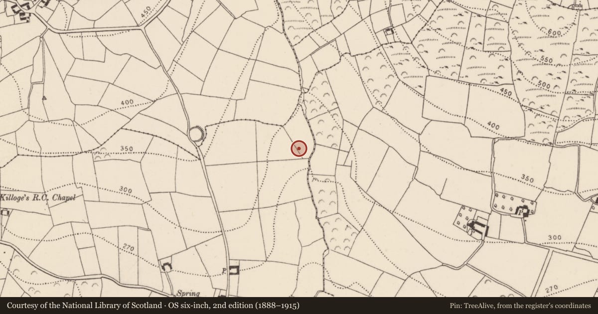
Slide toward Today to fade the historical sheet and see the modern map underneath.
David Rumsey Map Collection, Stanford LibrariesUniversity Library, Vrije Universiteit AmsterdamDavid Rumsey Map Collection, Stanford LibrariesDavid Rumsey Map Collection, Stanford Libraries
4 historical maps cover this location, the earliest the 1790 map "Composite: Ireland." (David Rumsey Map Collection, Stanford Libraries).
Historical maps covering this location
- 1790 · Composite: Ireland. (David Rumsey Map Collection, Stanford Libraries)
- 1869 · Ireland. (David Rumsey Map Collection, Stanford Libraries)
- 1891 · Ireland 16 (David Rumsey Map Collection, Stanford Libraries)
- 1911 · Sheet 14, 1911 (University Library, Vrije Universiteit Amsterdam)
This record in the National Monuments Service's Historic Environment Viewer ↗
The National Monuments Service's description
Approximately 40m W of a stream that flows S through a steep-sided valley. The monument is very ruined. It consists of a chamber (L at least 2.5m) opening to the NE. Only the W portal, leaning out markedly, and two adjoining sidestones are in situ. The chamber was covered by two roofstones. The N or upper stone is shattered into at least three pieces and lies tilted to the E. Fogarty (c. 1850, 103) records that it was blasted by powder. It partly rests above the S roofstone. This stands at an angle in the chamber and rests on and oversails the two sidestones. The whole E side of the monument is missing though a possible fallen sidestone protrudes from under the roofstones at the S. A 19th-century sketch of the monument from the NE depicts a leaning out door-stone and shows the N roofstone as intact (NLI 1356TA). (NLI 1356TA; Fogarty c. 1850, 103; Borlase 1897, vol. 2, 409, Iverk no. 9; Powell 1941, 22, no. 29)
Compiled by: Paul Walsh
Date of upload: 12 May 2021
References
Borlase, W.C. 1897 The Dolmens of Ireland, 3 vols. London. Chapman and Hall.
Powell, T.G.E. 1941a Megalithic tombs in South-East Ireland. Journal of the Royal Society of Antiquaries of Ireland 71, 9-23.
Fogarty, J. 1851-2 Account of antiquities in and around the barony of Iverk, Co. Kilkenny. Manuscript: Department of Irish Folklore, National University of Ireland, Dublin.
Nearby in the register
- Ringfort - rathunder 1 mi
- Ritual site - holy wellunder 1 mi
- Churchunder 1 mi
- Graveyardunder 1 mi
Other entries of the same register within about three miles of this one, by straight line.