Sites and Monuments Record · Ireland
Megalithic tomb - portal tomb
Raheen (Iverk By.), County Kilkenny, Ireland
The record
- Townland
- Raheen (Iverk By.)
- County
- Kilkenny
- Country
- Ireland
- First-edition OS map
- Not indicated
- Latest-edition OS map
- Not indicated
- Coordinates
- 52.37830, -7.29603
- SMR number
- KK039-044----
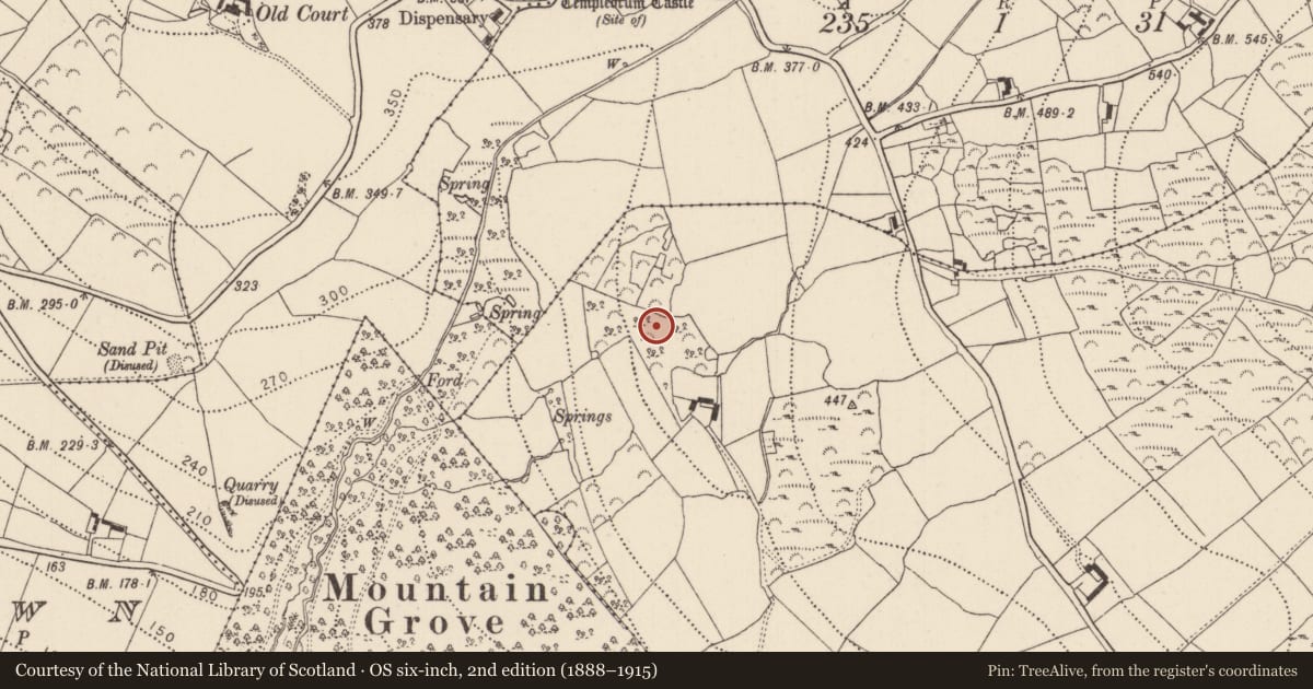
Slide toward Today to fade the historical sheet and see the modern map underneath.
David Rumsey Map Collection, Stanford LibrariesDavid Rumsey Map Collection, Stanford LibrariesDavid Rumsey Map Collection, Stanford LibrariesDavid Rumsey Map Collection, Stanford Libraries
4 historical maps cover this location, the earliest the 1790 map "Composite: Ireland." (David Rumsey Map Collection, Stanford Libraries).
Historical maps covering this location
- 1790 · Composite: Ireland. (David Rumsey Map Collection, Stanford Libraries)
- 1869 · Ireland. (David Rumsey Map Collection, Stanford Libraries)
- 1882 · Ireland (southern half). (David Rumsey Map Collection, Stanford Libraries)
- 1891 · Ireland 16 (David Rumsey Map Collection, Stanford Libraries)
This record in the National Monuments Service's Historic Environment Viewer ↗
The National Monuments Service's description
In an old copse on the E side of a valley opening to the SW. It comprises a small ruined chamber (L c. 1.8m; Wth 1m), facing uphill to ENE. The entrance is formed by the N portal stone and a doorstone. The S portal has fallen outwards to the E and the S sidestone, in two pieces, leans inwards against the door-stone. The N sidestone is missing and a low line of crude dry-walling marks the edge of the chamber on this side. The W end is closed by two slabs which lean to the S; the N stone is split in two pieces. The roofstone (L 3.9m; Wth 1.9m; T 0.55m), has been displaced to the S and rests against the sidestone, door-stone and end slabs. The interior floor-level of the chamber is 2m below the capstone. There is no visible trace of a surrounding mound. (Borlase 1897, vol. 2, no. 409, Iverk no. 8; Powell 1941, 22, no. 26)
Compiled by: Paul Walsh
Date of upload: 12 May 2021
References
Powell, T.G.E. 1941a Megalithic tombs in South-East Ireland. Journal of the Royal Society of Antiquaries of Ireland 71, 9-23.
Borlase, W.C. 1897 The Dolmens of Ireland, 3 vols. London. Chapman and Hall.
Nearby in the register
- Field systemunder 1 mi
- Enclosureunder 1 mi
- Earthworkunder 1 mi
- Graveyardunder 1 mi
Other entries of the same register within about three miles of this one, by straight line.