Sites and Monuments Record · Ireland
Graveslab
Inistioge, County Kilkenny, Ireland
The record
- Townland
- Inistioge
- County
- Kilkenny
- Country
- Ireland
- Coordinates
- 52.48931, -7.06606
- SMR number
- KK032-017022-
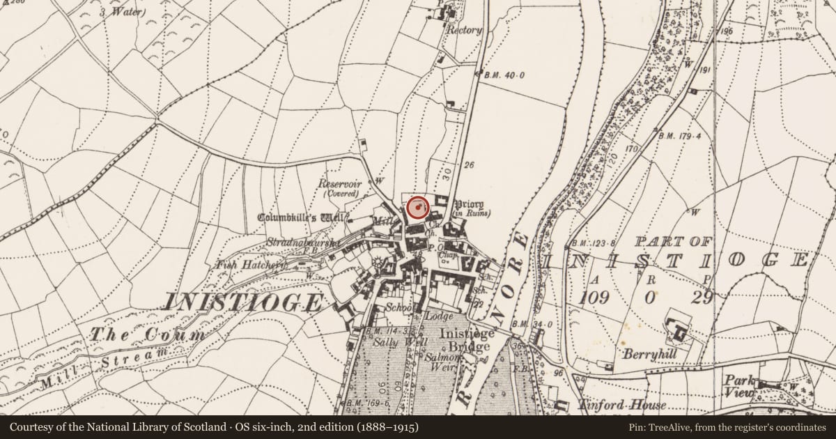
Slide toward Today to fade the historical sheet and see the modern map underneath.
University Library, Vrije Universiteit AmsterdamUniversity Library, Vrije Universiteit AmsterdamDavid Rumsey Map Collection, Stanford LibrariesDavid Rumsey Map Collection, Stanford Libraries
4 historical maps cover this location, the earliest the 1790 map "Composite: Ireland." (David Rumsey Map Collection, Stanford Libraries).
Historical maps covering this location
- 1790 · Composite: Ireland. (David Rumsey Map Collection, Stanford Libraries)
- 1891 · Ireland 16 (David Rumsey Map Collection, Stanford Libraries)
- 1904 · Sheet 14, 1904 (University Library, Vrije Universiteit Amsterdam)
- 1911 · Sheet 14, 1911 (University Library, Vrije Universiteit Amsterdam)
This record in the National Monuments Service's Historic Environment Viewer ↗
The National Monuments Service's description
In the graveyard (KK032-017020-) at the Augustinian Priory (KK032-017004-) in Inistioge. A floor slab with ‘IHS’ and a cross in relief in the centre and a Latin inscription in Black Letter around the edge commemorating Peter Joyce and his wife Elena Tobin. The slab is dated c. 1600. (Carrigan 1905, vol. 4, 112; Cockerham and Harris 2001, 186)
Compiled by: Mary Tunney
Date of upload: 29 May 2013
References
Cockerham. P. and Harris, L. 2001 Kilkenny funeral monuments 1500-1600: a statistical and analytical account. Proceedings of the Royal Irish Academy 101C, 135-88.
Carrigan, Rev. W. 1905 (Reprint 1981) The history and antiquities of the diocese of Ossory, 4 vols. Kilkenny. Roberts Books and Wellbrook Press.
Nearby in the register
- Graveyardunder 1 mi
- Graveslabunder 1 mi
- Tomb - effigialunder 1 mi
- Religious house - Augustinian canonsunder 1 mi
Other entries of the same register within about three miles of this one, by straight line.