Sites and Monuments Record · Ireland
Megalithic tomb - unclassified
Ballylowra, County Kilkenny, Ireland
The record
- Townland
- Ballylowra
- County
- Kilkenny
- Country
- Ireland
- First-edition OS map
- Not indicated
- Latest-edition OS map
- Not indicated
- Coordinates
- 52.48820, -7.18325
- SMR number
- KK032-010----
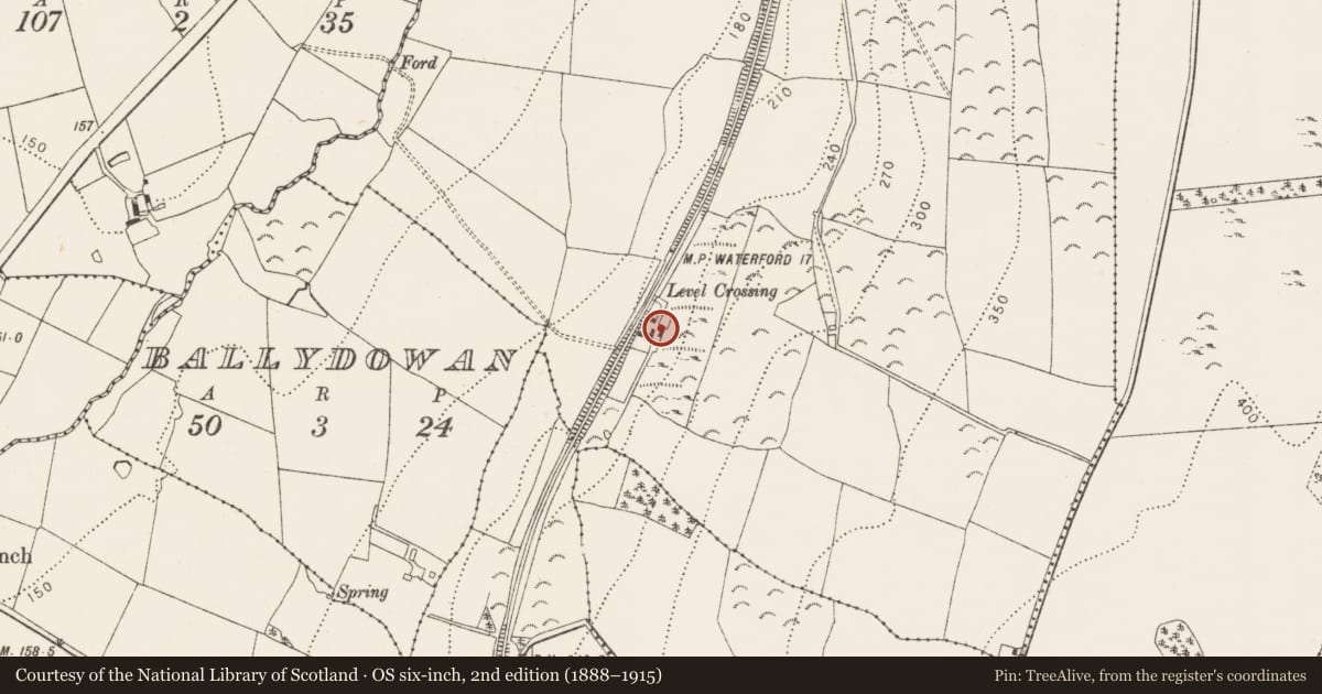
Slide toward Today to fade the historical sheet and see the modern map underneath.
David Rumsey Map Collection, Stanford LibrariesUniversity Library, Vrije Universiteit AmsterdamDavid Rumsey Map Collection, Stanford LibrariesDavid Rumsey Map Collection, Stanford Libraries
4 historical maps cover this location, the earliest the 1790 map "Composite: Ireland." (David Rumsey Map Collection, Stanford Libraries).
Historical maps covering this location
- 1790 · Composite: Ireland. (David Rumsey Map Collection, Stanford Libraries)
- 1869 · Ireland. (David Rumsey Map Collection, Stanford Libraries)
- 1891 · Ireland 16 (David Rumsey Map Collection, Stanford Libraries)
- 1911 · Sheet 14, 1911 (University Library, Vrije Universiteit Amsterdam)
This record in the National Monuments Service's Historic Environment Viewer ↗
The National Monuments Service's description
On the W-facing slope of the Jerpoint Hill ridge about 1.3 km SSW of a destroyed portal tomb (KK032-009001-). The monument stands immediately E of an old trackway to the rear of the outbuildings of an abandoned farmstead and was converted for use as an animal pen. It comprises a polygonal chamber (Wth c. 2m), whose sides, with the exception of two transversely-set portal-like orthostats at the N, are composed of modern dry-stone walling. There are two orthostats (H c. 1m), the W stone leans outwards. There is a modern opening through the dry-walling on the W. The whole is covered by a roofstone (dims. 3.8m x 2.05m; T 0.55m), that rests on the orthostats and dry-stone walling. A field-wall abuts the tomb at the N and S. (Graves 1850, 130; Borlase 1897, vol. 2, 403, Knocktopher no. 2).
Compiled by: Paul Walsh
Date of upload: 10 May 2021
References
Graves, Rev. J. 1850 Crom-leac. Journal of the Royal Society of Antiquaries of Ireland 1, 129-31.
Borlase, W.C. 1897 The Dolmens of Ireland, 3 vols. London. Chapman and Hall.
Nearby in the register
- Enclosureunder 1 mi
- Megalithic tomb - portal tombunder 1 mi
- Ringfort - rathunder 1 mi
- Enclosureunder 1 mi
Other entries of the same register within about three miles of this one, by straight line.