Sites and Monuments Record · Ireland
Font
Dunnamaggan East, County Kilkenny, Ireland
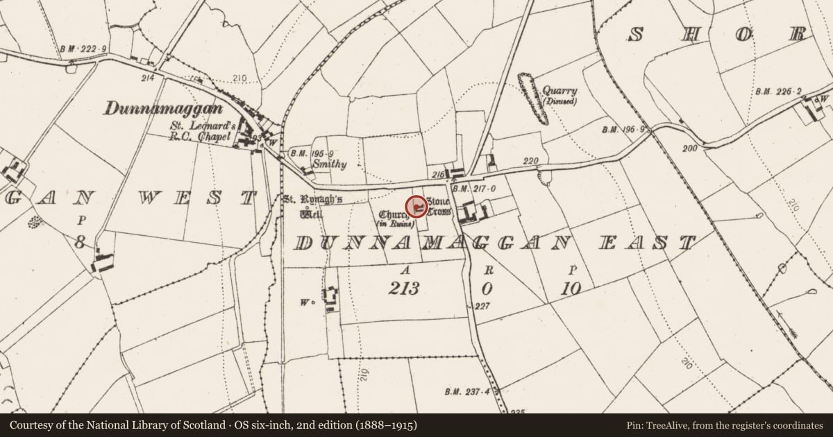
The record
- Townland
- Dunnamaggan East
- County
- Kilkenny
- Country
- Ireland
- First-edition OS map
- Not indicated
- Latest-edition OS map
- Not indicated
- Coordinates
- 52.50054, -7.29207
- SMR number
- KK031-003010-
Slide toward Today to fade the historical sheet and see the modern map underneath.
David Rumsey Map Collection, Stanford LibrariesDavid Rumsey Map Collection, Stanford LibrariesDavid Rumsey Map Collection, Stanford LibrariesDavid Rumsey Map Collection, Stanford Libraries
4 historical maps cover this location, the earliest the 1790 map "Composite: Ireland." (David Rumsey Map Collection, Stanford Libraries).
Historical maps covering this location
- 1790 · Composite: Ireland. (David Rumsey Map Collection, Stanford Libraries)
- 1869 · Ireland. (David Rumsey Map Collection, Stanford Libraries)
- 1882 · Ireland (southern half). (David Rumsey Map Collection, Stanford Libraries)
- 1891 · Ireland 16 (David Rumsey Map Collection, Stanford Libraries)
This record in the National Monuments Service's Historic Environment Viewer ↗
The National Monuments Service's description
The original font in the medieval parish church (KK031-003002-) of Dunnamaggan was moved initially to the RC chapel in Dunnamaggan where it was used as a holy water stoup (Carrigan 1905, vol. 4, 34). The RC chapel was built in c. 1790 and remodeled in c. 1828 (ibid. 83). Following the demolition of this chapel, the font was re-housed in the current RC church in Dunnamaggan which was built in 1971. See KK031-002---- for Font – present location.
A square font of carboniferous limestone (dims. 0.72m x 0.72m; H 0.54m) with a circular bowl (diam. 0.51m; D 0.3m). The central drain-hole (diam. 0.09m) has been blocked. It is decorated with pointed arcading, with two flutes per arch. The angles are chamfered. The underside of the font has a circular moulding (diam. 0.43m), formerly receiving a central round pier with four smaller circular columns supporting the angles, the latter have been replaced by modern columns. It is similar in style to other ‘Ossory’ fonts which have been dated to the 13th century.
Compiled by: Jean Farrelly
Nearby in the register
- Churchunder 1 mi
- Graveyardunder 1 mi
- Crossunder 1 mi
- House - early medievalunder 1 mi
Other entries of the same register within about three miles of this one, by straight line.