Sites and Monuments Record · Ireland
Moated site
Ballyogan, County Kilkenny, Ireland
The record
- Townland
- Ballyogan
- County
- Kilkenny
- Country
- Ireland
- First-edition OS map
- Hachured
- Latest-edition OS map
- Not indicated
- Coordinates
- 52.50791, -6.95782
- SMR number
- KK029-033001-
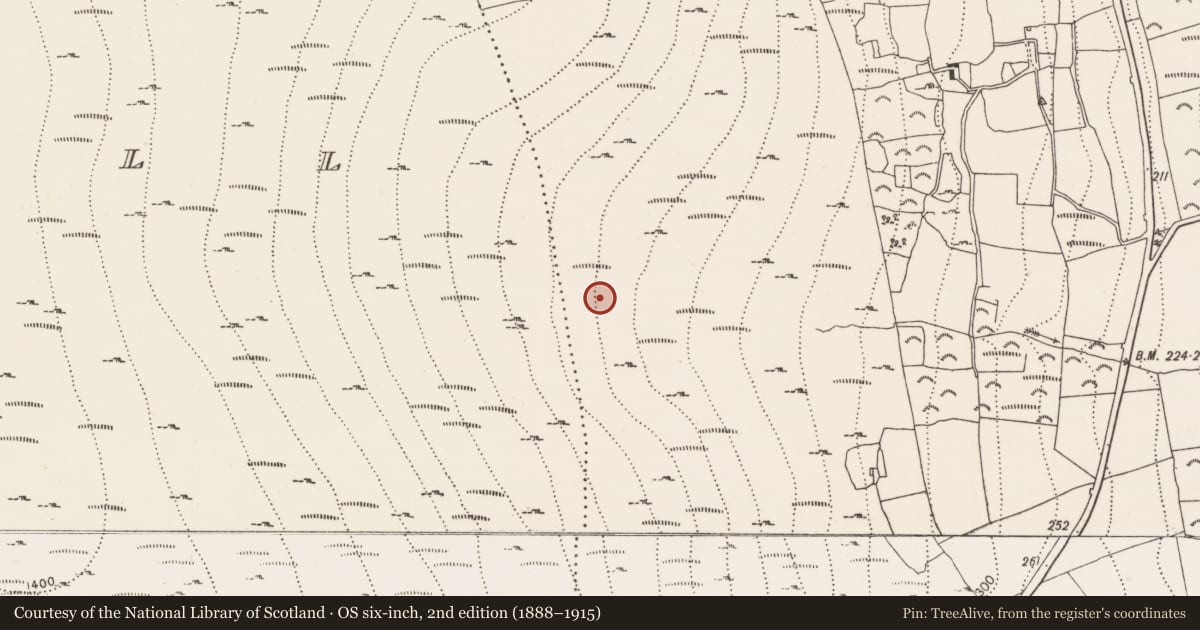
Slide toward Today to fade the historical sheet and see the modern map underneath.
University Library, Vrije Universiteit AmsterdamUniversity Library, Vrije Universiteit AmsterdamDavid Rumsey Map Collection, Stanford LibrariesDavid Rumsey Map Collection, Stanford Libraries
4 historical maps cover this location, the earliest the 1790 map "Composite: Ireland." (David Rumsey Map Collection, Stanford Libraries).
Historical maps covering this location
- 1790 · Composite: Ireland. (David Rumsey Map Collection, Stanford Libraries)
- 1891 · Ireland 16 (David Rumsey Map Collection, Stanford Libraries)
- 1904 · Sheet 14, 1904 (University Library, Vrije Universiteit Amsterdam)
- 1911 · Sheet 14, 1911 (University Library, Vrije Universiteit Amsterdam)
This record in the National Monuments Service's Historic Environment Viewer ↗
The National Monuments Service's description
On the E-facing slope of Brandon Hill, although in a clearing in forestry it is heavily covered with vegetation including ferns and scrub. It is described by Moore (1849-51, 23) as a 'quadrangular fort', which ‘besides possessing the usual fosse and rampart, contained within the enclosed space foundations of buildings [KK029-033002- to KK029-033007-], laid out apparently in small cells, of which there were about half a dozen, as nearly as I can recollect. These foundations were constructed of regular masonry, which I conceive to be of antiquity coeval with the earthen fortifications which surrounded them’. It is shown on the 1st (1839) ed. OS 6-inch map as a sub-rectangular enclosure (dims. S L c. 0.35m broadening to c. 42m at N, E L c. 65m and W L c. 60m) with a long narrow rectangle (L c. 48m; Wth c. 8m), aligned N-S, indicated on the W side. It is described after a field visit in 2016 (pers. comm. Seán Quealy, Environmental Officer, Coillte, 28 November 2018), as a rectangular area (overall dims. N L 42m; E L 67m; S L 42m; W L 62m) defined by a raised platform, fosse (basal Wth c. 2m; top Wth c. 3.5m; D 1.5m) and outer bank. No internal features were noted at time of field visit in 2016.
Compiled by: Jean Farrelly
Date of upload: 10 December 2018
References
Moore, Rev. P. 1849-51 Observations on raths. Journal of the Royal Society of Antiquaries of Ireland 1, 22-6.
Nearby in the register
Other entries of the same register within about three miles of this one, by straight line.