Sites and Monuments Record · Ireland
Ring-ditch
Smithstown Upper, County Kilkenny, Ireland
The record
- Townland
- Smithstown Upper
- County
- Kilkenny
- Country
- Ireland
- First-edition OS map
- Not indicated
- Latest-edition OS map
- Not indicated
- Coordinates
- 52.54200, -7.13707
- SMR number
- KK028-107----
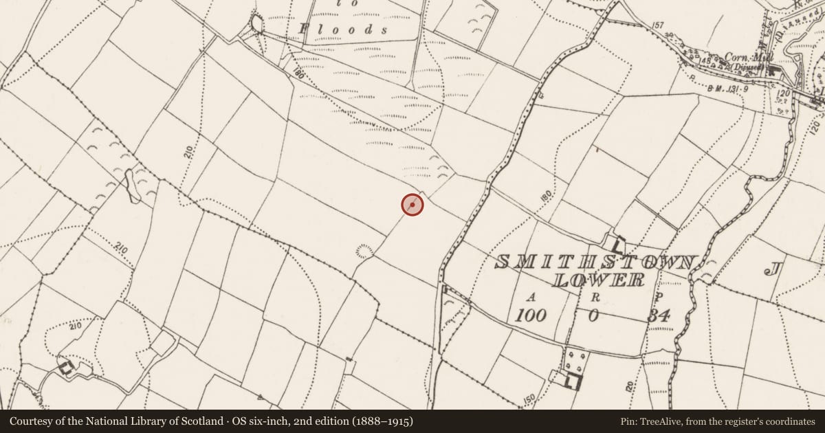
Slide toward Today to fade the historical sheet and see the modern map underneath.
David Rumsey Map Collection, Stanford LibrariesUniversity Library, Vrije Universiteit AmsterdamDavid Rumsey Map Collection, Stanford LibrariesDavid Rumsey Map Collection, Stanford Libraries
4 historical maps cover this location, the earliest the 1790 map "Composite: Ireland." (David Rumsey Map Collection, Stanford Libraries).
Historical maps covering this location
- 1790 · Composite: Ireland. (David Rumsey Map Collection, Stanford Libraries)
- 1869 · Ireland. (David Rumsey Map Collection, Stanford Libraries)
- 1891 · Ireland 16 (David Rumsey Map Collection, Stanford Libraries)
- 1911 · Sheet 14, 1911 (University Library, Vrije Universiteit Amsterdam)
This record in the National Monuments Service's Historic Environment Viewer ↗
The National Monuments Service's description
In tillage. A circular ring-ditch (overall diam. c. 18m; int. diam. c. 10m), defined by a wide fosse (Wth 4-5m), visible as a cropmark on satellite imagery (Google Earth satellite image, imagery date 13 April 2020), identified and reported by James Eogan. In June 1968 a Bronze Age decorated flat axe-head was recovered from a mound which was being levelled in Smithstown Upper townland (Prendergast 1970, 14-16). The precise location of the mound is unknown, but it may be the same monument as this ring-ditch, which when upstanding could have been a mound enclosed by a fosse. The monument is on the line of a NE-SW running field boundary, indicated on the 1st (1839) ed. OS 6-inch map and on the 1948-9 revision but now visible as a cropmark. It is possible that the monument was levelled at the same time as the field boundary.
See attached:
KK028-107----_01 Google Earth satellite image, imagery date 13 April 2020
Compiled by: Jean Farrelly
Date of upload: 20 June 2022
References
Prendergast, E. 1970 Smithstown axe-head. Old Kilkenny Review. 14-16.
Nearby in the register
- Enclosureunder 1 mi
- Enclosureunder 1 mi
- Concentric enclosureunder 1 mi
- Ring-ditchunder 1 mi
Other entries of the same register within about three miles of this one, by straight line.