Sites and Monuments Record · Ireland
Armorial plaque (present location)
Thomastown, County Kilkenny, Ireland
The record
- Townland
- Thomastown
- County
- Kilkenny
- Country
- Ireland
- Coordinates
- 52.52538, -7.13894
- SMR number
- KK028-040019-
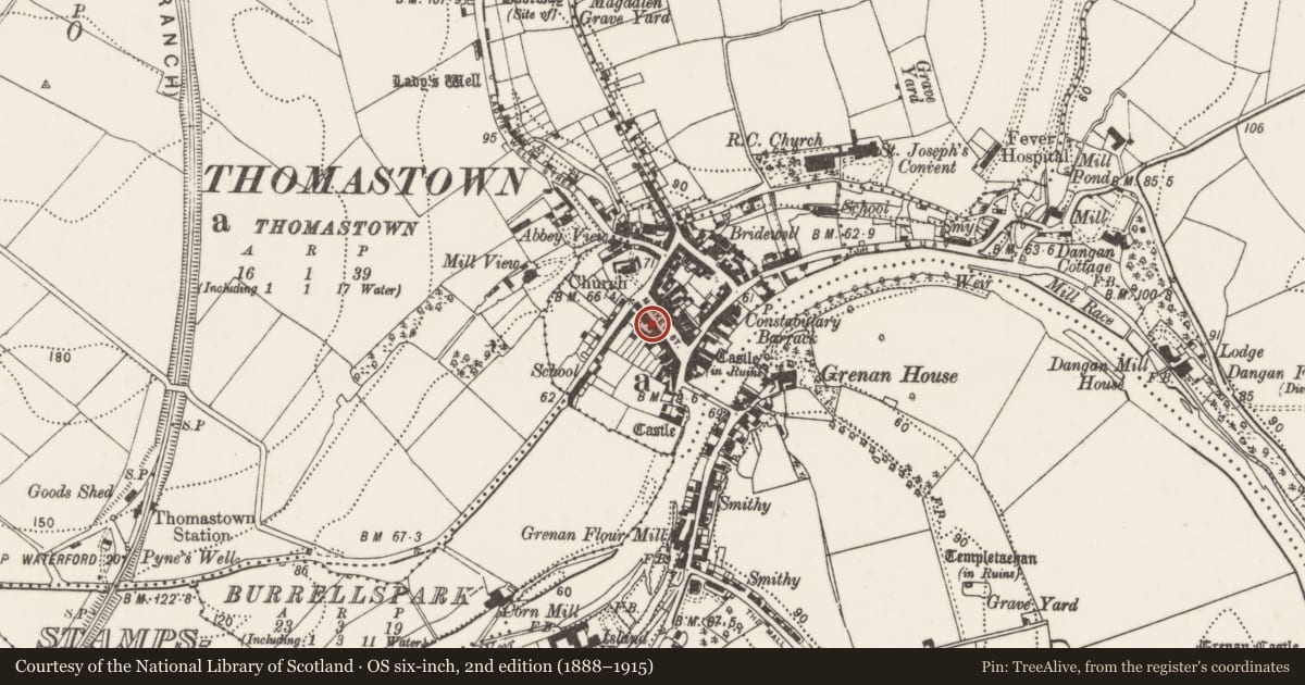
Slide toward Today to fade the historical sheet and see the modern map underneath.
David Rumsey Map Collection, Stanford LibrariesUniversity Library, Vrije Universiteit AmsterdamDavid Rumsey Map Collection, Stanford LibrariesDavid Rumsey Map Collection, Stanford Libraries
4 historical maps cover this location, the earliest the 1790 map "Composite: Ireland." (David Rumsey Map Collection, Stanford Libraries).
Historical maps covering this location
- 1790 · Composite: Ireland. (David Rumsey Map Collection, Stanford Libraries)
- 1869 · Ireland. (David Rumsey Map Collection, Stanford Libraries)
- 1891 · Ireland 16 (David Rumsey Map Collection, Stanford Libraries)
- 1911 · Sheet 14, 1911 (University Library, Vrije Universiteit Amsterdam)
This record in the National Monuments Service's Historic Environment Viewer ↗
The National Monuments Service's description
Described by Farrelly et al. (1993, vol. 1, 194) as 'Located in the Bank of Ireland on the west side of Market Street. This stone plaque originally formed the keystone of an arched gateway in Marsh's Street [KK028-040022-]. It bears the armorial plaques of the Walsh and Brenan families on either side with the initials "J.W." and "C.B." inscribed in an elaborate central frame and a human head carved above this. The date "1645" is carved below with the names of "John Wailsh" and "Catrin Brenan". At some stage, the date "1794" was also incised onto the stone.'
Compiled by: Mary Tunney
Date of upload: 21 December 2011
Nearby in the register
- Cross - Market crossunder 1 mi
- Historic townunder 1 mi
- Cross - High crossunder 1 mi
- Tomb - effigialunder 1 mi
Other entries of the same register within about three miles of this one, by straight line.