Sites and Monuments Record · Ireland
Barrow - ditch barrow
Gowran, County Kilkenny, Ireland
The record
- Townland
- Gowran
- County
- Kilkenny
- Country
- Ireland
- First-edition OS map
- Not indicated
- Latest-edition OS map
- Not indicated
- Coordinates
- 52.63040, -7.06837
- SMR number
- KK020-120----
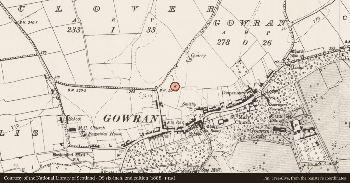
Slide toward Today to fade the historical sheet and see the modern map underneath.
David Rumsey Map Collection, Stanford LibrariesUniversity Library, Vrije Universiteit AmsterdamDavid Rumsey Map Collection, Stanford LibrariesDavid Rumsey Map Collection, Stanford Libraries
4 historical maps cover this location, the earliest the 1790 map "Composite: Ireland." (David Rumsey Map Collection, Stanford Libraries).
Historical maps covering this location
- 1790 · Composite: Ireland. (David Rumsey Map Collection, Stanford Libraries)
- 1869 · Ireland. (David Rumsey Map Collection, Stanford Libraries)
- 1891 · Ireland 16 (David Rumsey Map Collection, Stanford Libraries)
- 1904 · Sheet 14, 1904 (University Library, Vrije Universiteit Amsterdam)
This record in the National Monuments Service's Historic Environment Viewer ↗
The National Monuments Service's description
On the NW outskirts of Gowran and immediately inside the medieval town defences. During an archaeological excavation (06E0625) carried out in advance of the construction of the ‘Ogenty’ housing development on the Kilkenny road, Gowran, a ditch barrow (diam. c. 9m) with a central burial pit was noted (Ó Drisceoil 2009, 263). The W edge of the barrow was subsequently excavated, revealing a shallow round-bottomed fosse (Wth 0.9m; D 0.35m) (Delaney 2023, 6.3; excavation no. 21E0385). There fills of the fosse were sterile (ibid.).
Ref.:
Delany, D. 2023 Archaeological excavation at Ogenty, Kilkenny Road, Gowran, Co. Kilkenny. Final report. Excavation licence number: 21E0385. An Bord Pleanala reference: ABP-306914-19. Dominic Delany & Associates. Unpublished report
Compiled by: Jean Farrelly
Date of revised upload: 19 April 2023
References
Ó Drisceoil, C. 2009 Greenshill, Gowran: urban, medieval. In I. Bennett (ed.), Excavations 2006: summary accounts of archaeological excavations in Ireland, No. 1031, 263. Dublin. Wordwell.
Nearby in the register
- Excavation - miscellaneousunder 1 mi
- Cross - Market cross (present location)under 1 mi
- Town defencesunder 1 mi
- Historic townunder 1 mi
Other entries of the same register within about three miles of this one, by straight line.