Sites and Monuments Record · Ireland
Fulacht fia
Ballyquirk, County Kilkenny, Ireland
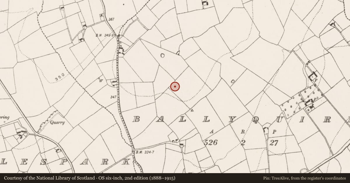
The record
- Townland
- Ballyquirk
- County
- Kilkenny
- Country
- Ireland
- First-edition OS map
- Not indicated
- Latest-edition OS map
- Not indicated
- Coordinates
- 52.65676, -7.08764
- SMR number
- KK020-102----
Slide toward Today to fade the historical sheet and see the modern map underneath.
David Rumsey Map Collection, Stanford LibrariesUniversity Library, Vrije Universiteit AmsterdamDavid Rumsey Map Collection, Stanford LibrariesDavid Rumsey Map Collection, Stanford Libraries
4 historical maps cover this location, the earliest the 1790 map "Composite: Ireland." (David Rumsey Map Collection, Stanford Libraries).
Historical maps covering this location
- 1790 · Composite: Ireland. (David Rumsey Map Collection, Stanford Libraries)
- 1869 · Ireland. (David Rumsey Map Collection, Stanford Libraries)
- 1891 · Ireland 16 (David Rumsey Map Collection, Stanford Libraries)
- 1904 · Sheet 14, 1904 (University Library, Vrije Universiteit Amsterdam)
This record in the National Monuments Service's Historic Environment Viewer ↗
The National Monuments Service's description
In an area prone to waterlogging although on the crest of a hill with panoramic views of the Blackstairs to the E and Slievenamon to the S. Excavated in 2008 in advance of the N9/N10 Kilcullen to Waterford road scheme (Licence no. E3864). Three rectangular troughs containing burnt stone and burnt clay (one of which extends outside the road take at the NW of the excavation). The area was significantly damaged by modern field clearance. Two possible hut shelters (KK020-101----) numerous pits, post-holes and stake-holes were excavated to the S. (Elliot 2009; Elliot 2010, 233, no. 877)
Compiled by: Mary Tunney
Date of upload: 6 November 2013
References
Elliot, R. 2010 AR113, Ballyquirk. In I. Bennett (ed.), Excavations 2007: summary accounts of archaeological excavations in Ireland, 233, no. 877. Bray. Wordwell.
Elliot, R. 2009 N9/N10 Kilcullen to Waterford Scheme, Phase 4B – Rathclogh to Powerstown. E3864 Ballyquirk 2 Preliminary archaeological resolution report. Unpublished report submitted to the National Monuments Service, Department of Arts, Heritage and the Gaeltacht, Dublin.
Nearby in the register
- Structureunder 1 mi
- Structureunder 1 mi
- Pit-burialunder 1 mi
- Excavation - miscellaneousunder 1 mi
Other entries of the same register within about three miles of this one, by straight line.