Sites and Monuments Record · Ireland
Cross-slab (present location)
Leggetsrath West, County Kilkenny, Ireland
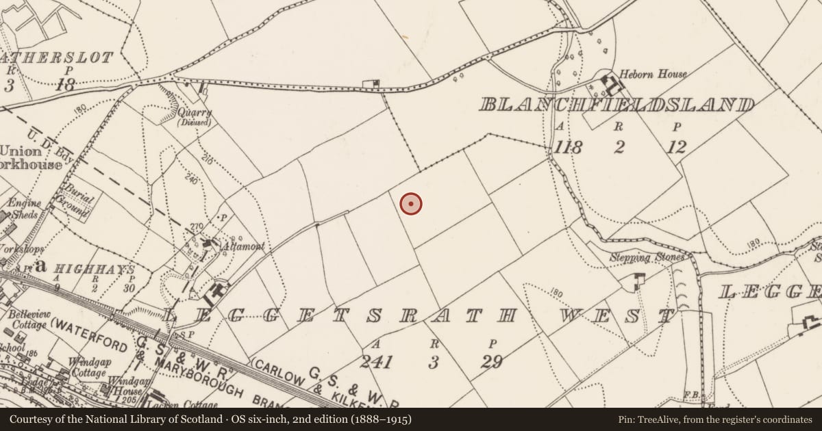
The record
- Townland
- Leggetsrath West
- County
- Kilkenny
- Country
- Ireland
- First-edition OS map
- Not indicated
- Latest-edition OS map
- Not indicated
- Coordinates
- 52.65531, -7.22841
- SMR number
- KK019-026411-
Slide toward Today to fade the historical sheet and see the modern map underneath.
David Rumsey Map Collection, Stanford LibrariesUniversity Library, Vrije Universiteit AmsterdamDavid Rumsey Map Collection, Stanford LibrariesDavid Rumsey Map Collection, Stanford Libraries
4 historical maps cover this location, the earliest the 1790 map "Composite: Ireland." (David Rumsey Map Collection, Stanford Libraries).
Historical maps covering this location
- 1790 · Composite: Ireland. (David Rumsey Map Collection, Stanford Libraries)
- 1869 · Ireland. (David Rumsey Map Collection, Stanford Libraries)
- 1891 · Ireland 16 (David Rumsey Map Collection, Stanford Libraries)
- 1911 · Sheet 14, 1911 (University Library, Vrije Universiteit Amsterdam)
This record in the National Monuments Service's Historic Environment Viewer ↗
The National Monuments Service's description
Formerly in the graveyard (WX015-023002-) of Clone church (WX015-023001-), Co. Wexford. Currently in the OPW store, Kilkenny (Kilkenny depot stone carving number: KD048). A sandstone slab (min. L 0.73m; Wth 0.48m; T 0.17cm) naturally rounded at the top and tapering towards the base (see WX015-023006-). The lower portion of the stone is broken off. The broad face on one side is decorated in false relief with a Maltese cross within a circle (diam. 0.33m). At the centre of the cross there is a central boss with a shallow central depression.
See attached photograph:
KK019-026411-_01 (photograph by Chris Corlett)
Compiled by: Jean Farrelly
Date of upload: 30 January 2023
Nearby in the register
- Graveslab (present location)under 1 mi
- Graveslab (present location)under 1 mi
- Graveslab (present location)under 1 mi
- Tomb - chest tomb (present location)under 1 mi
Other entries of the same register within about three miles of this one, by straight line.