Sites and Monuments Record · Ireland
Architectural fragment
Leggetsrath West, County Kilkenny, Ireland
The record
- Townland
- Leggetsrath West
- County
- Kilkenny
- Country
- Ireland
- First-edition OS map
- Not indicated
- Latest-edition OS map
- Not indicated
- Coordinates
- 52.65563, -7.22816
- SMR number
- KK019-026371-
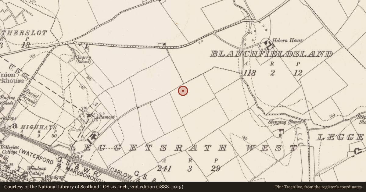
Slide toward Today to fade the historical sheet and see the modern map underneath.
David Rumsey Map Collection, Stanford LibrariesUniversity Library, Vrije Universiteit AmsterdamDavid Rumsey Map Collection, Stanford LibrariesDavid Rumsey Map Collection, Stanford Libraries
4 historical maps cover this location, the earliest the 1790 map "Composite: Ireland." (David Rumsey Map Collection, Stanford Libraries).
Historical maps covering this location
- 1790 · Composite: Ireland. (David Rumsey Map Collection, Stanford Libraries)
- 1869 · Ireland. (David Rumsey Map Collection, Stanford Libraries)
- 1891 · Ireland 16 (David Rumsey Map Collection, Stanford Libraries)
- 1911 · Sheet 14, 1911 (University Library, Vrije Universiteit Amsterdam)
This record in the National Monuments Service's Historic Environment Viewer ↗
The National Monuments Service's description
In the OPW store, Kilkenny (Kilkenny depot stone carving number: KD006). A carved head (L 0.3m; Wth 0.25m; max. D 0.21m), possibly a corbel though it could also have been part of an arch. There is diagonal tooling on the straight sides. It has a grotesque face carved in high relief with frown lines, bulging eyes, a large nose (broken at the end), thick lips with a short tongue protruding. There are striations, similar to those found on Sheela-na-gigs, on the cheeks and down the length of the neck. It is similar to heads at Ferns Castle which are also carved from Dundry stone (Colfter 2013, 65, Fig. 13A). Stylistically this dates to the 13th century.
See attached:
KK019-026371-_01 (photograph by Chris Corlett)
Compiled by: Jean Farrelly
Date of upload: 25 January 2023
Nearby in the register
- Architectural fragmentunder 1 mi
- Architectural fragmentunder 1 mi
- Architectural fragmentunder 1 mi
- Architectural fragmentunder 1 mi
Other entries of the same register within about three miles of this one, by straight line.