Sites and Monuments Record · Ireland
Graveslab
Gardens (Kilkenny City By., St. John's Par.), County Kilkenny, Ireland
The record
- Townland
- Gardens (Kilkenny City By., St. John's Par.)
- County
- Kilkenny
- Country
- Ireland
- First-edition OS map
- Not indicated
- Latest-edition OS map
- Not indicated
- Coordinates
- 52.65395, -7.24948
- SMR number
- KK019-026267-
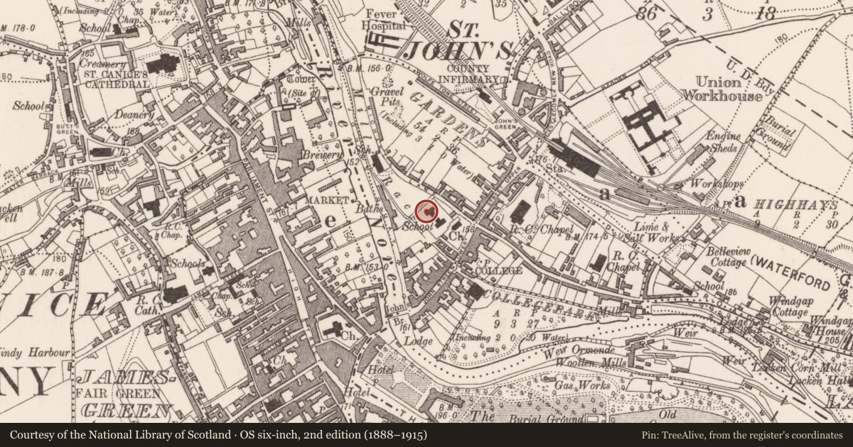
Slide toward Today to fade the historical sheet and see the modern map underneath.
David Rumsey Map Collection, Stanford LibrariesUniversity Library, Vrije Universiteit AmsterdamDavid Rumsey Map Collection, Stanford LibrariesDavid Rumsey Map Collection, Stanford Libraries
4 historical maps cover this location, the earliest the 1790 map "Composite: Ireland." (David Rumsey Map Collection, Stanford Libraries).
Historical maps covering this location
- 1790 · Composite: Ireland. (David Rumsey Map Collection, Stanford Libraries)
- 1869 · Ireland. (David Rumsey Map Collection, Stanford Libraries)
- 1891 · Ireland 16 (David Rumsey Map Collection, Stanford Libraries)
- 1911 · Sheet 14, 1911 (University Library, Vrije Universiteit Amsterdam)
This record in the National Monuments Service's Historic Environment Viewer ↗
The National Monuments Service's description
Reused as a building stone during the construction of the Evans’ asylum, also known as Evan’s Home, in 1818 (https://www.buildingsofireland.ie/buildings-search/building/12000216/evans-asylum-barrack-lane-gardens-st-johns-par-kilkenny-co-kilkenny). Located on the grounds of the former St John’s Priory (KK019-026068-), a house of the Augustinian canons. The Evan’s Home has been refurbished and opened in 2020 as the Butler Gallery.
Built on a H-shaped plan (aligned NW-SE but described as N-S for convenience), the graveslab is incorporated in masonry on the W elevation of the N projecting bay, near the NW angle (H above ground 2.66m; distance from NW angle 0.28m).
Only a fragment (dims. c. 0.4m x 0.3m) of the graveslab survives. It is decorated in relief with an inscription in Latin, in black letter script, which reads, ‘…. die Septembris’, with the date 1542, as well as another, possibly truncated number, 93, which may be the remains of another date or an age. It translates as ‘…. day September’.
See attached photograph:
KK019-026267-_01 Graveslab
KK019-026267-_02 Location of graveslab in W elevation of N projecting bay
Compiled by: Jean Farrelly
Date of upload: 31 January 2023
Nearby in the register
- House - 16th/17th centuryunder 1 mi
- Tomb - effigialunder 1 mi
- Religious house - Augustinian canonsunder 1 mi
- Graveyardunder 1 mi
Other entries of the same register within about three miles of this one, by straight line.