Sites and Monuments Record · Ireland
Water mill - vertical-wheeled
Gardens (Kilkenny City By., St. John's Par.), County Kilkenny, Ireland
The record
- Townland
- Gardens (Kilkenny City By., St. John's Par.)
- County
- Kilkenny
- Country
- Ireland
- First-edition OS map
- Indicated
- Latest-edition OS map
- Not indicated
- Coordinates
- 52.65286, -7.24773
- SMR number
- KK019-026266-
Slide toward Today to fade the historical sheet and see the modern map underneath.
David Rumsey Map Collection, Stanford LibrariesUniversity Library, Vrije Universiteit AmsterdamDavid Rumsey Map Collection, Stanford LibrariesDavid Rumsey Map Collection, Stanford Libraries
4 historical maps cover this location, the earliest the 1790 map "Composite: Ireland." (David Rumsey Map Collection, Stanford Libraries).
Historical maps covering this location
- 1790 · Composite: Ireland. (David Rumsey Map Collection, Stanford Libraries)
- 1869 · Ireland. (David Rumsey Map Collection, Stanford Libraries)
- 1891 · Ireland 16 (David Rumsey Map Collection, Stanford Libraries)
- 1911 · Sheet 14, 1911 (University Library, Vrije Universiteit Amsterdam)
This record in the National Monuments Service's Historic Environment Viewer ↗
The National Monuments Service's description
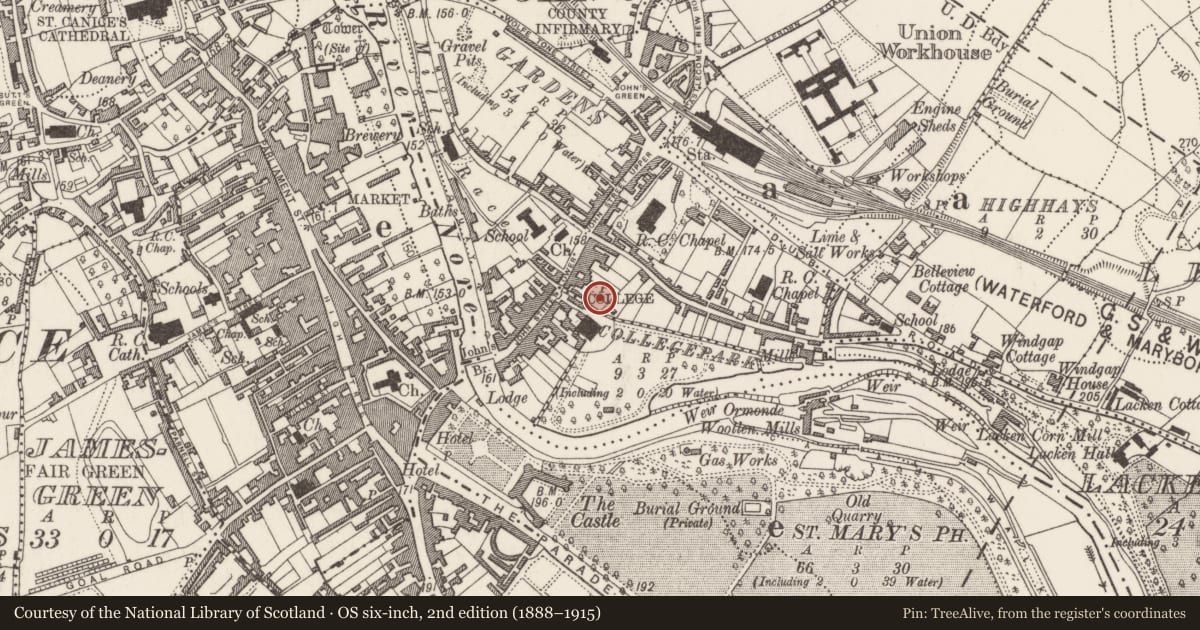
Mill building depicted on the 1758 John Rocque map of Kilkenny and the 1st ed. (1839) OS 6-inch map, at the rear of 68-69 John Street. The mill is on the N side of the medieval millrace (KK019-026077-) and abuts the NW (internal) face of the town wall (KK019-026001-) of St John's. Archaeological test excavation by Bernice Molloy (01E1031) identified the remains of a mill building comprising a limestone and red brick wall foundation and an upstanding red brick wall which projected from the face of the town wall (Molloy 2001, unpublished; 2003, 215). Much of its fabric remains preserved in situ.
Compiled by: Cóilín Ó Drisceoil
Date of upload: 14 December 2020
References
Molloy, B. 2003 68–69 John Street, Kilkenny: urban, post-medieval. In I. Bennett (ed.) Excavations 2001: summary accounts of archaeological excavations in Ireland, no. 707, 215. Bray. Wordwell.
Molloy, B. 2001 Archaeological assessment and archaeological impact statement 68-69 John Street, Kilkenny licence 01E1031, Margaret Gowen & Co. Ltd. Unpublished report.
Nearby in the register
- House - 16th/17th centuryunder 1 mi
- Bridgeunder 1 mi
- Graveyardunder 1 mi
- House - 16th/17th centuryunder 1 mi
Other entries of the same register within about three miles of this one, by straight line.