Sites and Monuments Record · Ireland
Ringfort - rath
Newtown (Gowran By., Kilkenny Rural ED), County Kilkenny, Ireland
The record
- Townland
- Newtown (Gowran By., Kilkenny Rural ED)
- County
- Kilkenny
- Country
- Ireland
- First-edition OS map
- Not indicated
- Latest-edition OS map
- Not indicated
- Coordinates
- 52.66143, -7.31292
- SMR number
- KK019-016----
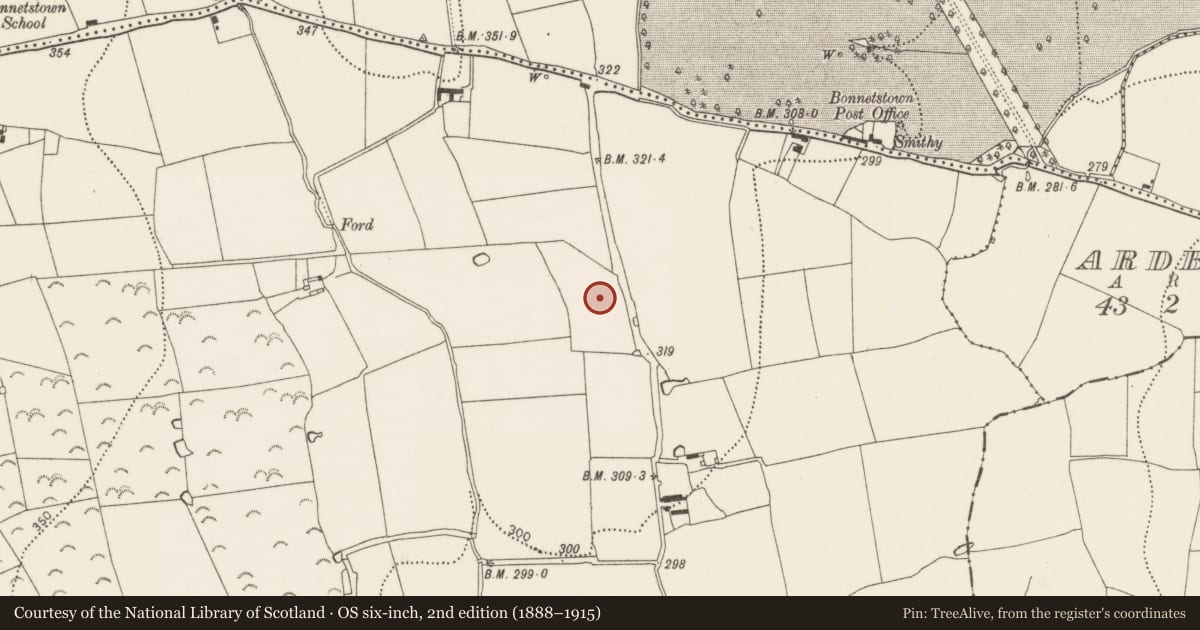
Slide toward Today to fade the historical sheet and see the modern map underneath.
David Rumsey Map Collection, Stanford LibrariesDavid Rumsey Map Collection, Stanford LibrariesDavid Rumsey Map Collection, Stanford LibrariesDavid Rumsey Map Collection, Stanford Libraries
4 historical maps cover this location, the earliest the 1790 map "Composite: Ireland." (David Rumsey Map Collection, Stanford Libraries).
Historical maps covering this location
- 1790 · Composite: Ireland. (David Rumsey Map Collection, Stanford Libraries)
- 1811 · Ireland. (David Rumsey Map Collection, Stanford Libraries)
- 1869 · Ireland. (David Rumsey Map Collection, Stanford Libraries)
- 1891 · Ireland 16 (David Rumsey Map Collection, Stanford Libraries)
This record in the National Monuments Service's Historic Environment Viewer ↗
The National Monuments Service's description
In rolling grassland, with a modern tree plantation to the NE delimiting the extent of the monument in that sector. Identified as an upstanding enclosure on an aerial photograph (GSI S481, 1973-3). A roughly circular area (int. dims. 50m E-W; 42m N-S) enclosed by a low wide bank (int. H 0.3m; ext. H 1-1.5m; Wth at crest 4m; overall Wth 8.5m) with an external fosse (Wth 3.5m; D 0.2m). There is an entrance (Wth 4.2m) at SSE with a causeway (L 3m; Wth 4.2m) over the fosse. An E-W field boundary, indicated on the 1st (1839-40) ed. OS map and the 1945-6 revision, bisects the interior. A rectangular platform (L 5m E-W; Wth 2m N-S; H 0.2m) in the N portion may represent a house site (KK019-016001-). A circular platform (diam. 3.2m; H 0.2m) occurs immediately N of the bisecting field boundary. The fosse at NE has been recut as a drain. On Digitalglobe satellite imagery (viewed 21 September 2020) a farm trackway appears to have been constructed around the outer edge of the enclosure (SE-W-NW).
Compiled by: Jean Farrelly
Date of revised upload: 21 September 2020
Nearby in the register
- House - indeterminate dateunder 1 mi
- Buildingunder 1 mi
- Castle - tower houseunder 1 mi
- Enclosureunder 1 mi
Other entries of the same register within about three miles of this one, by straight line.