Sites and Monuments Record · Ireland
Enclosure
Carrigeen (Gowran By.), County Kilkenny, Ireland
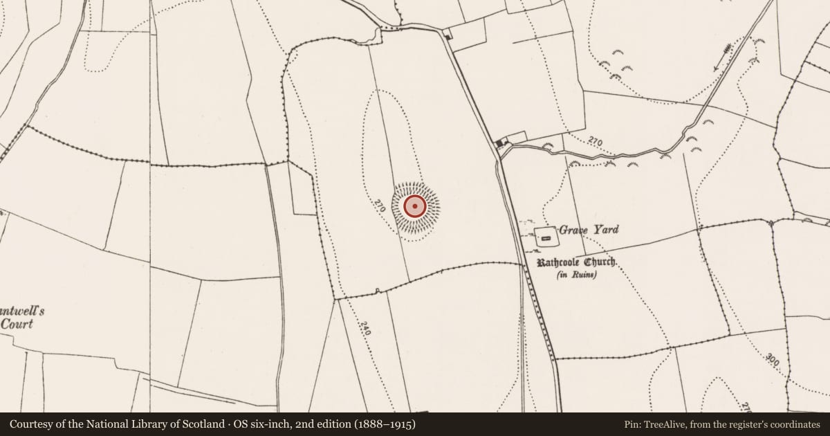
The record
- Townland
- Carrigeen (Gowran By.)
- County
- Kilkenny
- Country
- Ireland
- First-edition OS map
- Not indicated
- Latest-edition OS map
- Not indicated
- Coordinates
- 52.69162, -7.19205
- SMR number
- KK015-018001-
Slide toward Today to fade the historical sheet and see the modern map underneath.
David Rumsey Map Collection, Stanford LibrariesUniversity Library, Vrije Universiteit AmsterdamDavid Rumsey Map Collection, Stanford LibrariesDavid Rumsey Map Collection, Stanford Libraries
4 historical maps cover this location, the earliest the 1790 map "Composite: Ireland." (David Rumsey Map Collection, Stanford Libraries).
Historical maps covering this location
- 1790 · Composite: Ireland. (David Rumsey Map Collection, Stanford Libraries)
- 1869 · Ireland. (David Rumsey Map Collection, Stanford Libraries)
- 1891 · Ireland 16 (David Rumsey Map Collection, Stanford Libraries)
- 1904 · Sheet 14, 1904 (University Library, Vrije Universiteit Amsterdam)
This record in the National Monuments Service's Historic Environment Viewer ↗
The National Monuments Service's description
On quite a steep E-facing slope at the SE end of a small N-S ridge, rising from a broad expanse of rolling and mostly reclaimed grassland. Very good views in all directions. A large and roughly circular area (diam. 56m N-S; 58m E-W) defined by a wide flat-topped bank (Wth at crest 2m; overall Wth 7.5m; int. H 0.6m; ext. H 2.4m), a wide steep-sided flat-bottomed fosse (Wth 3.5m) and a much denuded outer bank (Wth 2m; int. H 1.6m; ext. H 0.4m). There is a gap (Wth 4m) in the bank in the E quadrant, but no causeway, which suggests this is modern. An entrance (Wth 3m) in the S quadrant is probably original, it has a steep, ramped causeway. The interior slopes to the E. The western portion of the interior is 0.45m higher than the eastern half. The division, which bisects the monument from N-S, is marked by a step. In the W quadrant there are three small mounds (KK015-018002-; KK015-018003-; KK015-018004-). The date and function of these mounds is unknown. If the enclosing element is a ringfort then it is unlikely that the mounds are archaeological. However, if the enclosure is prehistoric in date, then it is possible that the mounds may be barrows.
Compiled by: Jean Farrelly
Date of upload: 29 February 2016
This monument is subject to a preservation order made under the National Monuments Acts 1930 to 2014 (PO no. 5/1956).
References
Carrigan, Rev. W. 1905 (Reprint 1981) The history and antiquities of the diocese of Ossory, 4 vols. Kilkenny. Roberts Books and Wellbrook Press.
Nearby in the register
Other entries of the same register within about three miles of this one, by straight line.