Sites and Monuments Record · Ireland
Architectural feature
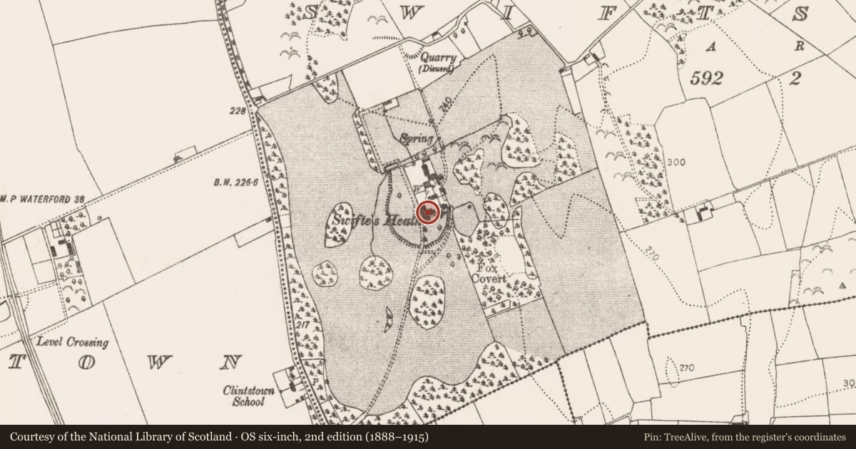
Swiftsheath, County Kilkenny, Ireland
The record
- Townland
- Swiftsheath
- County
- Kilkenny
- Country
- Ireland
- First-edition OS map
- Not indicated
- Latest-edition OS map
- Not indicated
- Coordinates
- 52.74067, -7.31567
- SMR number
- KK010-075002-
Slide toward Today to fade the historical sheet and see the modern map underneath.
David Rumsey Map Collection, Stanford LibrariesDavid Rumsey Map Collection, Stanford LibrariesDavid Rumsey Map Collection, Stanford LibrariesDavid Rumsey Map Collection, Stanford Libraries
4 historical maps cover this location, the earliest the 1790 map "Composite: Ireland." (David Rumsey Map Collection, Stanford Libraries).
Historical maps covering this location
- 1790 · Composite: Ireland. (David Rumsey Map Collection, Stanford Libraries)
- 1811 · Ireland. (David Rumsey Map Collection, Stanford Libraries)
- 1869 · Ireland. (David Rumsey Map Collection, Stanford Libraries)
- 1891 · Ireland 16 (David Rumsey Map Collection, Stanford Libraries)
This record in the National Monuments Service's Historic Environment Viewer ↗
The National Monuments Service's description
In a description of Foulksrath Castle (KK010-056001-) Brennan (1979, 58), wrote that the, 'fireplace and mantle pieces are modern - one was transferred to nearby Swiftsheath'. According to the ASI field report (31 July 1987) there is a polished black marble from Foulksrath within the house, although it appears to have been a later insert at Foulksrath tower house which was subsequently removed and brought to Swiftsheath.
Compiled by: Jean Farrelly
Date of upload: 8 January 2019
References
Brennan, Very Rev. J. 1979 Foulksrath and its associations. Old Kilkenny Review, 2, (1), 50-60.
Nearby in the register
- House - 17th centuryunder 1 mi
- Ring-ditchunder 1 mi
- Ring-ditchunder 1 mi
- Ring-ditchunder 1 mi
Other entries of the same register within about three miles of this one, by straight line.