Sites and Monuments Record · Ireland
Enclosure
Maudlin (Fassadinin By., Kilmacar ED), County Kilkenny, Ireland
The record
- Townland
- Maudlin (Fassadinin By., Kilmacar ED)
- County
- Kilkenny
- Country
- Ireland
- First-edition OS map
- Hachured
- Latest-edition OS map
- Hachured
- Coordinates
- 52.76113, -7.24775
- SMR number
- KK010-062----
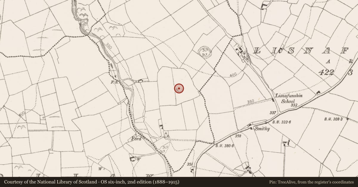
Slide toward Today to fade the historical sheet and see the modern map underneath.
David Rumsey Map Collection, Stanford LibrariesDavid Rumsey Map Collection, Stanford LibrariesDavid Rumsey Map Collection, Stanford LibrariesDavid Rumsey Map Collection, Stanford Libraries
4 historical maps cover this location, the earliest the 1790 map "Composite: Ireland." (David Rumsey Map Collection, Stanford Libraries).
Historical maps covering this location
- 1790 · Composite: Ireland. (David Rumsey Map Collection, Stanford Libraries)
- 1811 · Ireland. (David Rumsey Map Collection, Stanford Libraries)
- 1869 · Ireland. (David Rumsey Map Collection, Stanford Libraries)
- 1891 · Ireland 16 (David Rumsey Map Collection, Stanford Libraries)
This record in the National Monuments Service's Historic Environment Viewer ↗
The National Monuments Service's description
On a gentle S-facing slope on the E side of the Dinin river valley, in rolling grassland. There are good views in all directions except N which is impeded by rising ground. A circular (diam. 29.7m) enclosure which was levelled in the early 1960s but which is visible on the ground, defined by scarp (H 0.1m) and a slight fosse (Wth 2m; H 0.33m). It is also visible on Digitalglobe satellite imagery (viewed 18 December 2018). The scarp and fosse are not evident from N-E. The field is locally known as the 'little rath field'. According to tradition there was a castle (KK010-043002-) on Maudlin moat, but it is unclear whether this castle was on this enclosure or another enclosure (KK010-043001-) c. 180m to the NE (Carrigan 1905, vol. 2, 203; O'Kelly 1969, 46-7).
Compiled by: Jean Farrelly
Date of upload: 4 March 2019
References
O'Kelly, O. 1969 (Reissue 1985) The place-names of County Kilkenny. Kilkenny.
Carrigan, Rev. W. 1905 (Reprint 1981) The history and antiquities of the diocese of Ossory, 4 vols. Kilkenny. Roberts Books and Wellbrook Press.
Nearby in the register
- Ringfort - rathunder 1 mi
- Leper hospitalunder 1 mi
- Churchunder 1 mi
- Ringfort - rathunder 1 mi
Other entries of the same register within about three miles of this one, by straight line.