Sites and Monuments Record · Ireland
Dovecote
Foulksrath (Fassadinin By.), County Kilkenny, Ireland
The record
- Townland
- Foulksrath (Fassadinin By.)
- County
- Kilkenny
- Country
- Ireland
- First-edition OS map
- Indicated
- Latest-edition OS map
- Indicated
- Coordinates
- 52.75026, -7.31598
- SMR number
- KK010-056005-
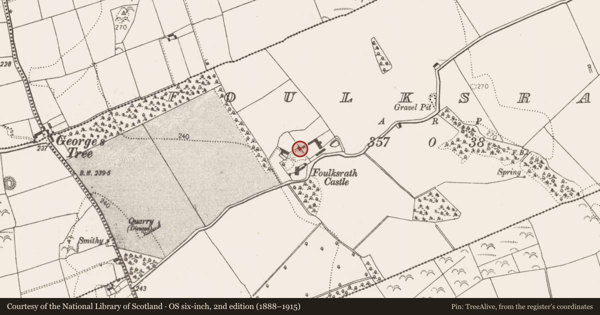
Slide toward Today to fade the historical sheet and see the modern map underneath.
David Rumsey Map Collection, Stanford LibrariesDavid Rumsey Map Collection, Stanford LibrariesDavid Rumsey Map Collection, Stanford LibrariesDavid Rumsey Map Collection, Stanford Libraries
4 historical maps cover this location, the earliest the 1790 map "Composite: Ireland." (David Rumsey Map Collection, Stanford Libraries).
Historical maps covering this location
- 1790 · Composite: Ireland. (David Rumsey Map Collection, Stanford Libraries)
- 1811 · Ireland. (David Rumsey Map Collection, Stanford Libraries)
- 1869 · Ireland. (David Rumsey Map Collection, Stanford Libraries)
- 1891 · Ireland 16 (David Rumsey Map Collection, Stanford Libraries)
This record in the National Monuments Service's Historic Environment Viewer ↗
The National Monuments Service's description
Associated with Foulksrath Castle (KK010-056001-) and bawn (KK010-056007-). In the NE angle of the bawn, there is a circular turret (int. diam. 4.35m; wall T 1.07m; wall H 3.8m) with a doorway facing SW (H 1.9m; Wth 0.92m) and two windows, all reconstructed. The turret's original function was as a defensive feature on the bawn and as such would have been higher than the present structure. At some stage, probably in the late 18th century, the turret was converted into a dovecote and the corbelled conical roof dates to this phase.
Compiled by: Jean Farrelly
Date of upload: 14 May 2019
Nearby in the register
- Structureunder 1 mi
- Bawnunder 1 mi
- House - 17th centuryunder 1 mi
- Castle - tower houseunder 1 mi
Other entries of the same register within about three miles of this one, by straight line.