Sites and Monuments Record · Ireland
Graveyard
Clontubbrid, County Kilkenny, Ireland
The record
- Townland
- Clontubbrid
- County
- Kilkenny
- Country
- Ireland
- First-edition OS map
- Indicated
- Latest-edition OS map
- Indicated
- Coordinates
- 52.75801, -7.40368
- SMR number
- KK009-044002-
Slide toward Today to fade the historical sheet and see the modern map underneath.
David Rumsey Map Collection, Stanford LibrariesDavid Rumsey Map Collection, Stanford LibrariesDavid Rumsey Map Collection, Stanford LibrariesDavid Rumsey Map Collection, Stanford Libraries
4 historical maps cover this location, the earliest the 1790 map "Composite: Ireland." (David Rumsey Map Collection, Stanford Libraries).
Historical maps covering this location
- 1790 · Composite: Ireland. (David Rumsey Map Collection, Stanford Libraries)
- 1811 · Ireland. (David Rumsey Map Collection, Stanford Libraries)
- 1869 · Ireland. (David Rumsey Map Collection, Stanford Libraries)
- 1891 · Ireland 16 (David Rumsey Map Collection, Stanford Libraries)
This record in the National Monuments Service's Historic Environment Viewer ↗
The National Monuments Service's description
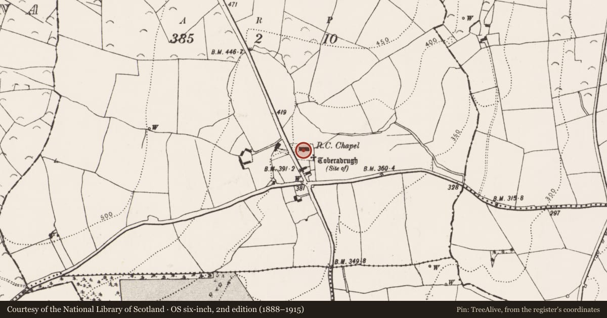
On a slight knoll on a terrace on valley side, in rolling grassland. There are good views in all directions. According to Carrigan (1905, vol. 2, 327), 'The parish church [KK009-044001-] of Clonetubrid disappeared very long ago. It stood at the south end of the modern churchyard of Clonetubrid, immediately outside the churchyard wall, where its site presents the appearance of a half dismantled rath'. This suggests that the present enclosed graveyard is smaller than the original graveyard which would have surrounded the church. The present sub-rectangular graveyard (dims. c. 46m N-S; c. 60m E-W) has a modern RC church aligned E-W just N of the centre of the graveyard and a holy well (KK009-044004-) in the SE angle. The entrance is in the W wall, from the public road which runs NW-SE along the W side of the graveyard.
Compiled by: Jean Farrelly
Date of upload: 6 February 2018
References
Carrigan, Rev. W. 1905 (Reprint 1981) The history and antiquities of the diocese of Ossory, 4 vols. Kilkenny. Roberts Books and Wellbrook Press.
Nearby in the register
- Churchunder 1 mi
- Ritual site - holy wellunder 1 mi
- Architectural fragmentunder 1 mi
- Churchunder 1 mi
Other entries of the same register within about three miles of this one, by straight line.