Sites and Monuments Record · Ireland
Barrow - stepped barrow
Knockdav, County Kilkenny, Ireland
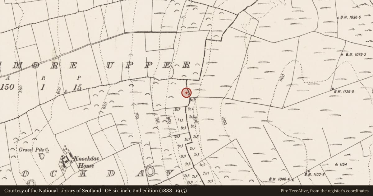
The record
- Townland
- Knockdav
- County
- Kilkenny
- Country
- Ireland
- First-edition OS map
- Not indicated
- Latest-edition OS map
- Not indicated
- Coordinates
- 52.74280, -7.51846
- SMR number
- KK008-202----
Slide toward Today to fade the historical sheet and see the modern map underneath.
David Rumsey Map Collection, Stanford LibrariesDavid Rumsey Map Collection, Stanford LibrariesDavid Rumsey Map Collection, Stanford LibrariesDavid Rumsey Map Collection, Stanford Libraries
4 historical maps cover this location, the earliest the 1790 map "Composite: Ireland." (David Rumsey Map Collection, Stanford Libraries).
Historical maps covering this location
- 1790 · Composite: Ireland. (David Rumsey Map Collection, Stanford Libraries)
- 1811 · Ireland. (David Rumsey Map Collection, Stanford Libraries)
- 1869 · Ireland. (David Rumsey Map Collection, Stanford Libraries)
- 1891 · Ireland 16 (David Rumsey Map Collection, Stanford Libraries)
This record in the National Monuments Service's Historic Environment Viewer ↗
The National Monuments Service's description
On a break of a W-facing slope in upland pasture, just below the crest of Spahill. There are extensive views across the plain to the N, S and W. A circular area (diam. 24m N-S; 23.4m E-W) enclosed by a stoney bank (int. H 0.1-0.55m; ext. H 0.43-0.85m; Wth at crest 1.3m; overall Wth 2.2-2.9m) and outer fosse (Wth 1.2m; D 0.05-0.7m), with a circular mound (diam. 4.6m at top; 7.1m at base; H 0.25-0.3m) slightly off-centre in the interior, being closer to the N bank. The interior forms a flat berm between the mound and enclosing bank. There is an entrance (Wth 2.3m) in the WSW quadrant where there is a break in the bank, partially defined by stones on the S side, and a causeway (H 0.17m) over the fosse. A stone wall field boundary runs roughly N-S along the E edge of the monument, kinking out to run along the top of the bank. Monument identified by Melanie McQuade (pers. comm. 10 November 2016).
Compiled by: Jean Farrelly
Date of revised upload: 3 September 2018
Nearby in the register
- Ringfort - unclassifiedunder 1 mi
- Enclosureunder 1 mi
- Concentric enclosureunder 1 mi
- Megalithic tomb - passage tombunder 1 mi
Other entries of the same register within about three miles of this one, by straight line.