Sites and Monuments Record · Ireland
Cist
Ballyoskill, County Kilkenny, Ireland
The record
- Townland
- Ballyoskill
- County
- Kilkenny
- Country
- Ireland
- First-edition OS map
- Not indicated
- Latest-edition OS map
- Not indicated
- Coordinates
- 52.83744, -7.29708
- SMR number
- KK005-003003-
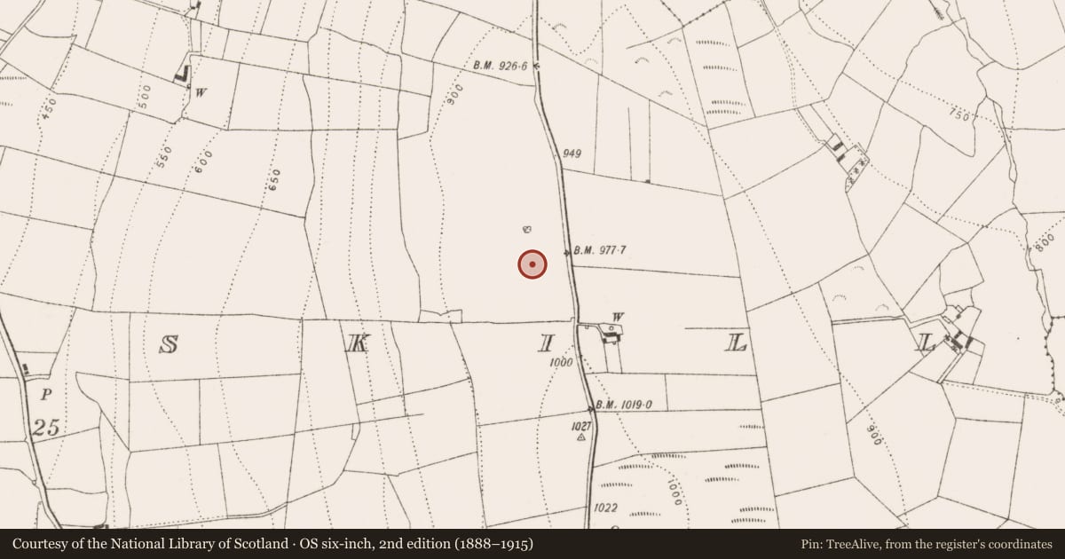
Slide toward Today to fade the historical sheet and see the modern map underneath.
David Rumsey Map Collection, Stanford LibrariesDavid Rumsey Map Collection, Stanford LibrariesDavid Rumsey Map Collection, Stanford LibrariesDavid Rumsey Map Collection, Stanford Libraries
4 historical maps cover this location, the earliest the 1790 map "Composite: Ireland." (David Rumsey Map Collection, Stanford Libraries).
Historical maps covering this location
- 1790 · Composite: Ireland. (David Rumsey Map Collection, Stanford Libraries)
- 1811 · Ireland. (David Rumsey Map Collection, Stanford Libraries)
- 1869 · Ireland. (David Rumsey Map Collection, Stanford Libraries)
- 1891 · Ireland 16 (David Rumsey Map Collection, Stanford Libraries)
This record in the National Monuments Service's Historic Environment Viewer ↗
The National Monuments Service's description
Situated at the N end of a N-S ridge with wide views of the surrounding countryside. One of five cists (KK005-003002-, KK005-003004-, KK005-003005-, KK005-003006-) discovered in 1971 during bulldozing at a possible cairn (KK005-003001-) in an area of quarrying. This cist is referred to in Prendergast and Ryan (2011, 238) as Grave 2. It was located SE of Grave 1 (KK005-00302-). It was rectangular in plan (int. dims. L 0.66m; Wth 0.43m) and aligned NE-SW. It comprised four thin slabs (max. T 0.1m) and had been covered with a large subrectangular capstone (L 1.4m; Wth 1.2m; T 0.2m). A small quantity of human remains was found in a rain-washed, homogenous, muddy fill, representing at least one adult. (Cahill and Sikora 2011, vol. 1, 235-43)
Compiled by: Mary Tunney
Date of upload: 28 January 2013
References
Cahill, M. and Sikora, M. (eds) 2011 Breaking ground, finding graves - reports on the excavations of burials by the National Museum of Ireland, 1927-2006, 2 vols. Dublin. Wordwell Ltd. in association with the National Museum of Ireland.
Nearby in the register
- Cairn - unclassifiedunder 1 mi
- Cistunder 1 mi
- Cistunder 1 mi
- Cistunder 1 mi
Other entries of the same register within about three miles of this one, by straight line.