Sites and Monuments Record · Ireland
Bullaun stone
Inishfoyle, County Kerry, Ireland
The record
- Townland
- Inishfoyle
- County
- Kerry
- Country
- Ireland
- Latest-edition OS map
- Not indicated
- Coordinates
- 51.79266, -9.60939
- SMR number
- KE110-004001-
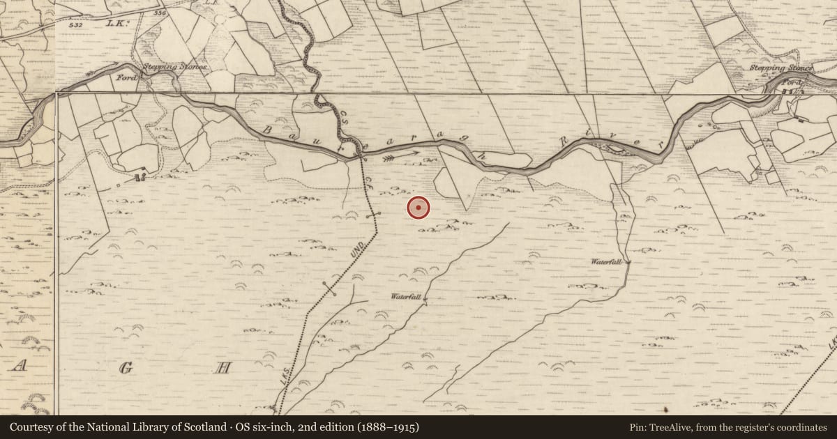
Slide toward Today to fade the historical sheet and see the modern map underneath.
David Rumsey Map Collection, Stanford LibrariesDavid Rumsey Map Collection, Stanford LibrariesDavid Rumsey Map Collection, Stanford LibrariesDavid Rumsey Map Collection, Stanford Libraries
4 historical maps cover this location, the earliest the 1790 map "Composite: Ireland." (David Rumsey Map Collection, Stanford Libraries).
Historical maps covering this location
- 1790 · Composite: Ireland. (David Rumsey Map Collection, Stanford Libraries)
- 1865 · Ireland, (South) Sheet. (David Rumsey Map Collection, Stanford Libraries)
- 1869 · Ireland. (David Rumsey Map Collection, Stanford Libraries)
- 1891 · Ireland 16 (David Rumsey Map Collection, Stanford Libraries)
This record in the National Monuments Service's Historic Environment Viewer ↗
The National Monuments Service's description
In rough pasture, on the N-facing slope of Baurearagh Mountain. A bowl-shaped water-filled hollow (diam. 0.37m; D 0.13m) is cut into the gently sloping upper surface of a boulder (4.5m N-S; 2.75m E-W; H 0.8m). According to local information, this bullaun stone served as a holy well and china cups beside it imply that pilgrims continue to avail of the holy water. Also according to local information, the boulder was used as a mass-rock (KE110-004----) in Penal times. A recent plaque on outcropping rock to the W commemorates Fr. John O'Neill who was 'beheaded here in penal days'. Three simple Latin crosses, the largest measuring 0.18m x 0.15m, are inscribed on the boulder immediately N of the bullaun stone. The crosses show evidence of recent rubbing and there is a small stone adjacent to them for this purpose.
See attached colour photographs courtesy of Amanda Clarke.
The above description is derived from the published 'Archaeological Inventory of County Kerry. Volume I: South-West Kerry' (Dublin: Stationery Office, 2009). In certain instances the entries have been revised and updated in the light of recent research.
Date of upload: 30 May 2011
Nearby in the register
- Ringfort - rathunder 1 mi
- Stepping stonesunder 1 mi
- Tunnelunder 1 mi
- Tunnelunder 1 mi
Other entries of the same register within about three miles of this one, by straight line.