Sites and Monuments Record · Ireland
Children's burial ground
Gort Na Cille, County Kerry, Ireland
The record
- Townland
- Gort Na Cille
- County
- Kerry
- Country
- Ireland
- Latest-edition OS map
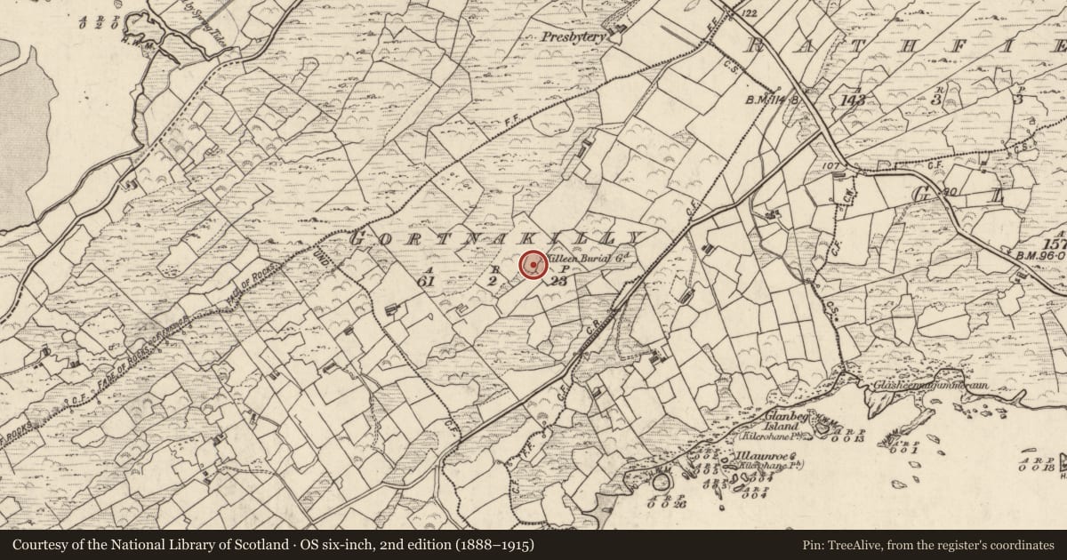
- Killeen Burial Gd.
- Coordinates
- 51.75898, -10.10308
- SMR number
- KE106-080001-
Slide toward Today to fade the historical sheet and see the modern map underneath.
David Rumsey Map Collection, Stanford LibrariesDavid Rumsey Map Collection, Stanford LibrariesDavid Rumsey Map Collection, Stanford LibrariesDavid Rumsey Map Collection, Stanford Libraries
4 historical maps cover this location, the earliest the 1790 map "Composite: Ireland." (David Rumsey Map Collection, Stanford Libraries).
Historical maps covering this location
- 1790 · Composite: Ireland. (David Rumsey Map Collection, Stanford Libraries)
- 1841 · Ireland. (David Rumsey Map Collection, Stanford Libraries)
- 1869 · Ireland. (David Rumsey Map Collection, Stanford Libraries)
- 1891 · Ireland 16 (David Rumsey Map Collection, Stanford Libraries)
This record in the National Monuments Service's Historic Environment Viewer ↗
The National Monuments Service's description
This site is located in rough pasture, on the S side of a ridge, overlooking Kenmare Bay to S. It is noted in the OSRNB as a 'small enclosure used for the burial of unbaptized infants', and survives as a rectangular area which measures 20.5m NW-SE x 27.5m NE-SW. It is generally enclosed by modern walls, except at E and S, where it is defined by large slabs set on edge and outcrops of rock, respectively. Occurring at the W end of the S side is the entrance to a souterrain. A lintel forms the top of the .95m x .35m rock-cut opening, and a displaced, second lintel blocks access to the passage. The level interior of the site is densely packed with E-W rows of uninscribed, upright grave-markers. The majority of these vary from .2m to .5m high, but some are appreciably larger. A number of long, thin slabs lie prostrate on the surface of the site, and a scattering of quartz occurs over its E half. O'Connell records a 'fallen gallaun' (KE106-080002-) here (KAS), but it is not clear what he was referring to.
The above description is derived from A. O'Sullivan and J. Sheehan (compilers), 'The Iveragh peninsula: an archaeological survey of South Kerry'. Cork University Press (1996), no. 1016. In certain instances the entries have been revised and updated in the light of recent research.
Date of upload: 30 July 2013
Nearby in the register
- Standing stoneunder 1 mi
- Ringfort - rathunder 1 mi
- Souterrainunder 1 mi
- Souterrainunder 1 mi
Other entries of the same register within about three miles of this one, by straight line.