Sites and Monuments Record · Ireland
Burial
Baile An Sceilg, County Kerry, Ireland
The record
- Townland
- Baile An Sceilg
- County
- Kerry
- Country
- Ireland
- Coordinates
- 51.81530, -10.27085
- SMR number
- KE097-067----
Slide toward Today to fade the historical sheet and see the modern map underneath.
David Rumsey Map Collection, Stanford LibrariesDavid Rumsey Map Collection, Stanford LibrariesDavid Rumsey Map Collection, Stanford LibrariesDavid Rumsey Map Collection, Stanford Libraries
4 historical maps cover this location, the earliest the 1790 map "Composite: Ireland." (David Rumsey Map Collection, Stanford Libraries).
Historical maps covering this location
- 1790 · Composite: Ireland. (David Rumsey Map Collection, Stanford Libraries)
- 1841 · Ireland. (David Rumsey Map Collection, Stanford Libraries)
- 1869 · Ireland. (David Rumsey Map Collection, Stanford Libraries)
- 1891 · Ireland 16 (David Rumsey Map Collection, Stanford Libraries)
This record in the National Monuments Service's Historic Environment Viewer ↗
The National Monuments Service's description
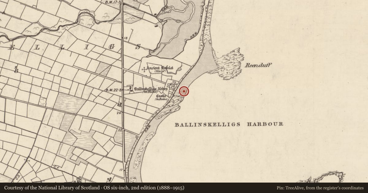
In October 1962, human remains were discovered on the sea-shore close to Ballinskelligs Abbey (KE097-036----). The skeleton was noticed close to the surface in sandy soil, which had previously been bog but had been washed away by coastal erosion.
Compiled by: Matt Kelleher
Date of upload: 28 January 2013
Nearby in the register
- Holed stoneunder 1 mi
- Graveyardunder 1 mi
- Religious house - Augustinian canonsunder 1 mi
- Fontunder 1 mi
Other entries of the same register within about three miles of this one, by straight line.