Sites and Monuments Record · Ireland
Settlement cluster
Cill Rialaigh, County Kerry, Ireland
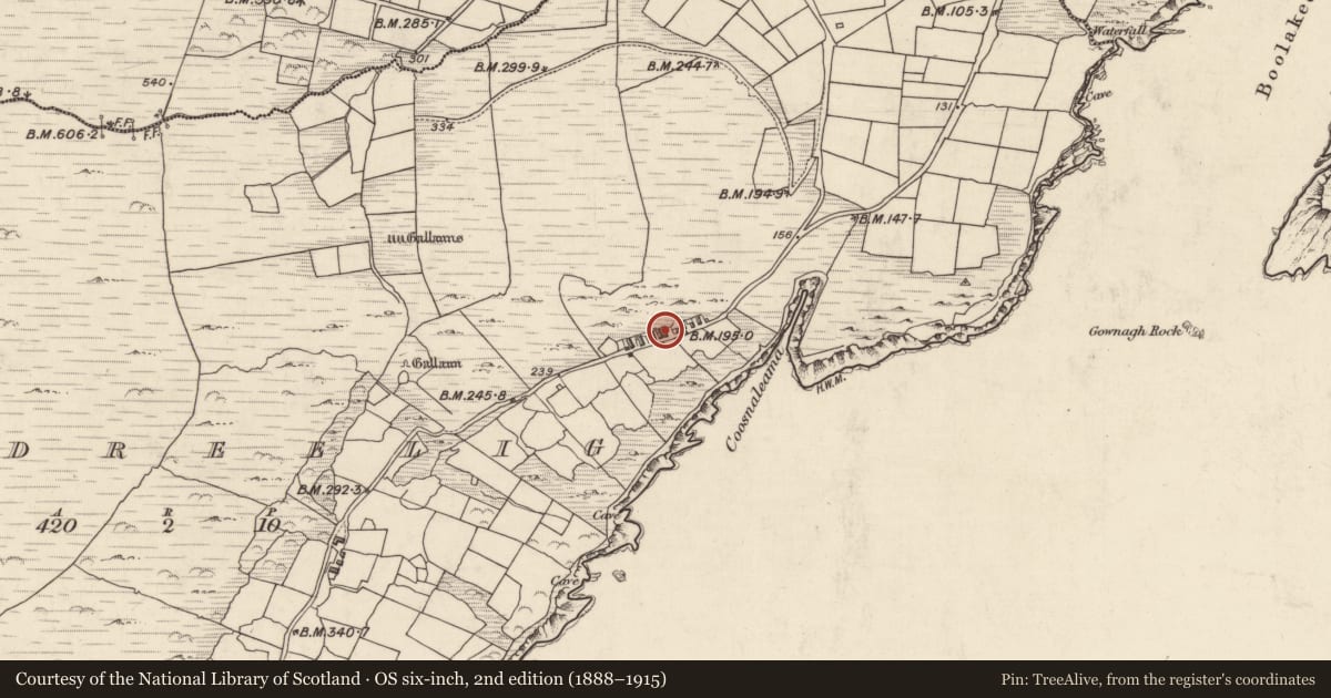
The record
- Townland
- Cill Rialaigh
- County
- Kerry
- Country
- Ireland
- Latest-edition OS map
- Indicated
- Coordinates
- 51.80225, -10.30129
- SMR number
- KE097-063----
Slide toward Today to fade the historical sheet and see the modern map underneath.
David Rumsey Map Collection, Stanford LibrariesDavid Rumsey Map Collection, Stanford LibrariesDavid Rumsey Map Collection, Stanford LibrariesDavid Rumsey Map Collection, Stanford Libraries
4 historical maps cover this location, the earliest the 1753 map "Mappa geographica Regni Hiberniae" (David Rumsey Map Collection, Stanford Libraries).
Historical maps covering this location
- 1753 · Mappa geographica Regni Hiberniae (David Rumsey Map Collection, Stanford Libraries)
- 1841 · Ireland. (David Rumsey Map Collection, Stanford Libraries)
- 1869 · Ireland. (David Rumsey Map Collection, Stanford Libraries)
- 1891 · Ireland 16 (David Rumsey Map Collection, Stanford Libraries)
This record in the National Monuments Service's Historic Environment Viewer ↗
The National Monuments Service's description
In rough hill pasture, beside an E-W road on a break at the foot of a steep S-facing slope overlooking Ballinskelligs Bay. The village consists of eleven detached, rubble stone walled, one storey, gable-ended houses with roof lofts. Six of them have been restored for habitation and five are abandoned and roofless. Typical house (6.85m N-S; 3.65m E-W; H 2.4m) has chimney on top of the N gable serving an open fireplace, and a small window (Wth 0.6m; H 0.8m) in each gable to light the loft. In general, the door (Wth 0.8m; H 1.8m), with a small window on each side, is in the centre of the E wall. Some houses also have a door and windows in the W wall. One restored slate-roofed house, with small ancillary buildings, is on the S side of the road. Ten houses and remains of ancillary buildings are on the N side of the road and each is separated by a small open yard; three have been restored with thatch roofs and two with slate roofs.
Compiled by: Elizabeth Byrne, Ursula Egan and Sheila Ronan, Archaeological Survey Unit, University College, Cork.
Date of upload: 30 May 2011
Nearby in the register
- Standing stoneunder 1 mi
- Hut siteunder 1 mi
- Souterrainunder 1 mi
- Ringfort - cashelunder 1 mi
Other entries of the same register within about three miles of this one, by straight line.